Get Full Government Meeting Transcripts, Videos, & Alerts Forever!
Get email alerts on the Land Use Annexation topic
No spam. Unsubscribe anytime.
Planning commission backs annexation, 98‑lot subdivision in Waterford
Summary
The Waterford Planning Commission voted to recommend annexing 43.27 acres into the city, pre‑zone the land, and approve a vesting tentative subdivision map to create 98 single‑family lots after the developer agreed to add sewer connections and other conditions; the matter goes to City Council next.
WATERFORD — The Waterford Planning Commission voted Oct. 21 to recommend that the City Council approve the annexation of 43.27 acres into the city, pre‑zone the parcels consistent with the Vision 2025 general plan, and adopt a vesting tentative subdivision map to create 98 single‑family residential lots.
Mark Niskinan, the city’s planning manager and contract planner, told the commission the application is applicant‑driven and lies inside Waterford’s established sphere of influence. “The recommendation before you tonight is the planning commission recommends to the city council approval of an initial study mitigated negative declaration and mitigation monitoring and reporting plan,” Niskinan said, summarizing staff’s action plan and the environmental review that supports it.
The proposed subdivision would develop 19.2 acres of the 43.27‑acre annexation area into 98 market‑rate single‑family homes; staff noted the entire annexation area could accommodate about 164 residential units if later developed but that only 98 are proposed now. The development would require roadway and utility improvements, including extension and upgrades to Eucalyptus Avenue to Yosemite Boulevard, curb, gutter and sidewalks on Rhine Way, relocation of a sewer lift station to Lot A of the map, masonry walls and a six‑foot “good neighbor” fence along residential edges, and restrictions on two‑story homes along the northern lots.
During public comment, applicant representative Dave Romano said the project implements the city’s long‑standing general plan and that the development team had tried to address community concerns. “We’ve done our best to accommodate as many of those issues as we can,” Romano said.
Nearby owner Dan Almeida, whose roughly 0.95‑acre parcel sits on Rhine Way within the annexation boundary, said neighbors who attended outreach meetings were largely opposed and raised specific concerns about sewer costs, increased traffic during school drop‑off, lot sizes and loss of privacy. “It’s gonna affect us deeply to have that many houses surrounding us,” Almeida said.
In response to those concerns, the developer agreed to a modification of the subdivision conditions to remove an adjacent property’s septic system and provide and finance a sewer connection for that parcel. Liaison Balakis of Northstar Engineering stated on the record that the development team “previously offer[ed] to remove the septic system” and asked staff to amend the condition of approval to reflect that commitment; staff identified that change as a modification to Condition 18 of the tentative map to require removal of the septic system and financing of the sewer connection.
The commission also heard technical and fiscal clarifications from staff. The city released the Initial Study and Mitigated Negative Declaration for a 30‑day public review beginning Sept. 24, 2024 and received three comment letters; staff said the traffic study determined intersection impacts would meet the general plan’s level‑of‑service standards. On public finance, staff explained that property taxes are governed by Proposition 13 and that developers typically fund impacts through impact fees and community facilities districts to pay for street maintenance, lighting and other infrastructure. Fire protection is provided by Stanislaus Consolidated Fire Protection District, which uses a benefit assessment and permit fees to fund stations and staffing.
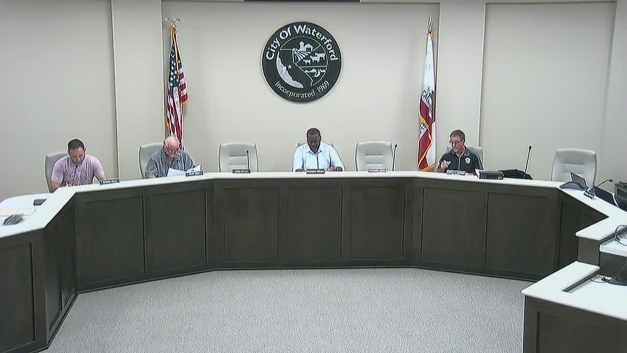
After closing the public hearing and accepting the applicant’s proposed condition change, the commission voted to approve three resolutions: the Initial Study/Mitigated Negative Declaration (resolution 2025‑06), a recommendation to the City Council to annex and pre‑zone the territory (resolution 2025‑07), and adoption of the vesting tentative subdivision map 2022‑0001 (resolution 2025‑08). The roll call recorded affirmative votes from Chairman Rivers, Commissioner Wright and Commissioner Rivera.
The commission’s approval is a recommendation to City Council; staff said the annexation and map will proceed to the City Council for consideration, and if the council acts in favor, the city will then file an application with the Stanislaus Local Agency Formation Commission (LAFCO) for final annexation action. The applicant and staff confirmed that the developer will be responsible for construction of the required public improvements and payment of connection fees for the sewer work the developer agreed to finance.
The Planning Commission closed its special meeting after the vote; the City Council is expected to consider the item next month.