Get Full Government Meeting Transcripts, Videos, & Alerts Forever!
Get email alerts on the Floodplain Zoning topic
No spam. Unsubscribe anytime.
Lakeville adopts FEMA-based Floodplain Protection District to preserve flood-insurance eligibility
Summary
At the annual meeting voters adopted a Floodplain Protection District overlay tied to FEMA's updated FIRM and the Plymouth County FIS (effective 07/16/2015) to maintain residents' eligibility for flood insurance and federal disaster aid.
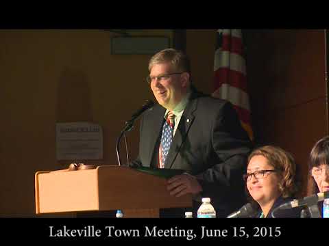
Lakeville voters unanimously adopted an updated Floodplain Protection District overlay at the annual town meeting on June 15, aligning town zoning with FEMA Flood Insurance Rate Map panels and the Plymouth County Flood Insurance Study dated July 16, 2015.
The planning board urged adoption, warning that failure to approve the overlay would prevent residents in identified flood-hazard areas from purchasing flood insurance and could disqualify properties from federal disaster assistance or federally insured mortgages. A planning-board representative said: "No resident will be able to purchase flood insurance policy...No federal disaster assistance may be provided to repair insurable buildings located in the identified flood hazard areas."
Several residents asked about the map date and timing; planning and zoning officials said the maps and supporting documentation had been reviewed in advance and must be accepted before the FEMA effective date. The planning board and finance committee recommended unanimous approval. The vote required a two-thirds threshold and was carried; town staff were instructed to file the adopted bylaw and maps with the town clerk and take necessary steps to notify affected property owners.