American Fork council approves 30.5-acre land‑use change to allow medium‑density homes near 1100 South
Get AI-powered insights, summaries, and transcripts
Subscribe
Summary
The City Council voted to amend the land‑use map for roughly 30.5 acres near 400 East/1100 South from industrial to residential medium density, enabling small‑lot and rental housing; council members required annexation agreement terms to limit density and preserve community standards.
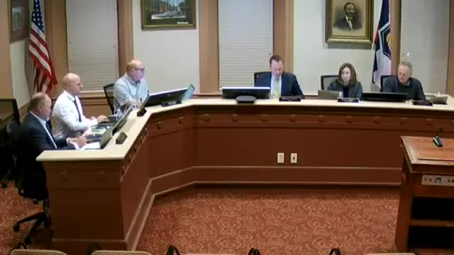
The American Fork City Council on Nov. 11 approved a resolution to change about 30.52 acres near 400 East and 1100 South from a design/industrial designation to residential medium density, a move that clears the way for small‑lot and townhome development.
City planner Patrick told the council the change aligns with a pending general‑plan update and would allow a modest density increase in that corner of the city. Dane Hill of Property Reserve, representing the applicants, said the proposal is intended to deliver “more affordable targeted housing” with “small lot residential, and maybe some town homes, shooting for kind of a 6 to 7 units per acre density.”
Council members pressed staff and the applicants on details they said will matter at annexation: whether the change creates a residential pocket surrounded by industrial land, the applicable zoning category (city staff discussed R‑1 7,500, R‑2 and R‑3 ranges), lot widths and how the annexation agreement will limit final density. Council member Carol said she was concerned about “creating essentially a pocket that’s surrounded by design industrial,” and several council members said they expect specific limits in the annexation agreement, not just an unconstrained land‑use label.
The motion to adopt the resolution was made by Council member Tater and seconded by Council member Hawley; the council then voted in favor. The vote applied only to the land‑use map designation; council members emphasized that zone selection, precise maximum densities and any development standards will be handled later in the annexation and zoning processes and through the planning approvals required by city code.
What happens next: staff and the applicant will proceed with annexation paperwork and any site‑plan applications; council members said they will use the annexation agreement to bind density and other development commitments before final zoning is granted.
