Get Full Government Meeting Transcripts, Videos, & Alerts Forever!
Get email alerts on the Wetlands Anrad topic
No spam. Unsubscribe anytime.
Fall River commission approves limited wetland flags after lengthy ANRAD debate at Birch Street site
Summary
After a detailed engineering presentation and questions about an old, silted culvert, the commission approved an ANRAD limited to wetland flags WF1‑100 through WF1‑112 for the Birch Street / Mount Hope Bay site and directed the applicant to file an RDA and utility camera reports before further work.
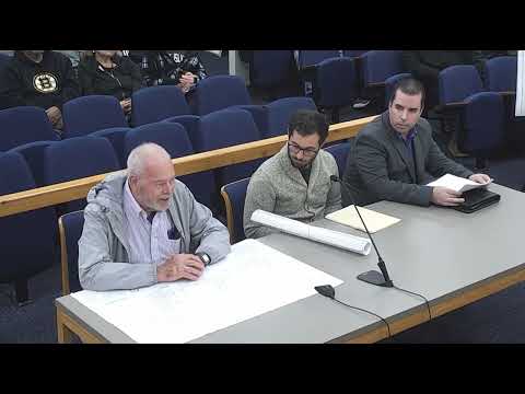
The Fall River Conservation Commission approved confirmation of only the flagged bordering vegetated wetland (BVW) line for portions of the Mount Hope Bay property at 0 Birch Street and 1205 Bay Street on Nov. 3, 2025, after an extended presentation and technical questioning.
Consultant Brad Travers of Waterman Engineering told the commission his team found evidence of historic culverts and siltation and that manholes and pipe in the area were difficult to access. “I’m of the opinion that it’s tied into the city drainage,” Travers said, describing surveys conducted since 2017 and photographs showing riprap and fill across the site. Travers and others noted the site contains construction debris, overgrowth and an existing homeless encampment that complicates fieldwork and topographic surveys.
Conservation staff and commissioners focused on whether the drainage feature under the railroad represents a functioning culvert connected to the municipal drainage system or an isolated area subject to flooding. Staff recommended that the applicant file an RDA (Request for Determination of Applicability) to permit targeted cleanup and camera inspection of downstream manholes and pipes before broad approvals. Staff also told the applicant the commission would allow limited cleanup under an RDA even if an ANRAD (Abbreviated Notice of Resource Area Delineation) was the chosen regulatory vehicle for staking buffer lines.
After questions about invert elevations, dye tests and the feasibility of cameraing lines with existing debris and utility constraints, commissioners voted to approve the ANRAD only for the BVW flags identified on the plan — wetland flags WF1‑100 through WF1‑112 — and explicitly made no determination on other resource areas on the parcel. The approval included the condition that the applicant submit any revised plans, camera inspection reports, and any needed RDA documentation before the commission would consider further determinations or allow additional on‑site work.
Dan Aghiark, the commission’s conservation agent, told the applicant the ANRAD approval was limited to the flagged wetlands and would not authorize clearing or other work inside the 100‑foot buffer without an RDA or other permit. The commission’s action was framed as a partial step to allow the applicant to proceed with staking buffer limits while preserving staff and commission review of outstanding hydrologic and access questions.
The commission agreed to continue oversight and asked the applicant to coordinate with affected utility owners when seeking permission for cameras or other intrusive investigations. No fines or enforcement changes were issued at the meeting; outstanding enforcement questions tied to the site will be revisited when additional engineering and camera results are filed.