Commission reviews land‑use chapter and mapping; focuses on solar exposure, septic tiers and rezoning priorities
Get AI-powered insights, summaries, and transcripts
Subscribe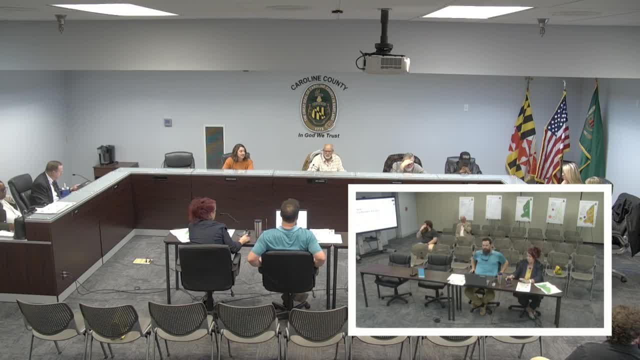
Summary
Caroline County planners showed commissioners a new zoning vs. land‑use mapping exercise to identify where rezoning should be prioritized, and the commission focused on solar exposure, Priority Preservation Area acreage and septic‑tier tools to guide future growth.
Caroline County planning staff presented the land‑use chapter of the comprehensive plan, showing a new zoning‑vs‑land‑use comparison map the department used to "ground truth" satellite classifications and identify areas where land use and zoning diverge.
Nathan (GIS planner) demonstrated the red/green compatibility matrix and reported that, after ground‑truthing, the county’s zoning largely aligns with mapped land use; mismatches were often attributable to satellite classification errors. Director Crystal and staff said the mapping will help target the comprehensive rezoning so the county can prioritize parcels that appear incompatible.
Commissioners spent substantial time on solar development and the county’s Priority Preservation Area (PPA). Staff summarized existing and pipeline solar projects (including Cherrywood) and said the county has roughly 1,600 acres of solar in the pipeline and several community and utility projects in various stages. Commissioners also said the county lost about 40 acres of R1 zoning in a recent case; staff urged tracking acreage and using rezoning strategy and transmission‑line buffers to reduce vulnerability.
Staff explained the state’s PPA rule that allows developers to rely on state preemption for solar up to 5% of a county’s PPA acreage; Caroline County’s PPA is about 126,000–127,000 acres, meaning a nominal 5% allowance equals roughly 6,300–6,350 acres. Commissioners discussed the limits of county control under that framework and the need to use septic‑tier mapping, transmission‑line buffers and coordinated town water/sewer designations as tools to prioritize development where the county prefers growth.
On implementation, staff recommended adding non‑agricultural encroachment language in goals (replacing prior solar‑specific phrasing), using septic tiers and town coordination to designate where higher‑density development should be feasible, and including the mapping exercise in a technical appendix. The commission approved the land‑use chapter as a final draft with minor editorial changes and directed staff to return priority‑preservation material for December review.