Get Full Government Meeting Transcripts, Videos, & Alerts Forever!
Commission reviews land‑use chapter and mapping; focuses on solar exposure, septic tiers and rezoning priorities
Summary
Caroline County planners showed commissioners a new zoning vs. land‑use mapping exercise to identify where rezoning should be prioritized, and the commission focused on solar exposure, Priority Preservation Area acreage and septic‑tier tools to guide future growth.
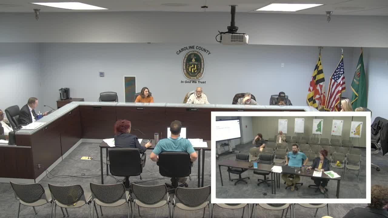
Caroline County planning staff presented the land‑use chapter of the comprehensive plan, showing a new zoning‑vs‑land‑use comparison map the department used to "ground truth" satellite classifications and identify areas where land use and zoning diverge.
Nathan (GIS planner) demonstrated the red/green compatibility matrix and reported that, after ground‑truthing, the county’s zoning largely aligns with mapped land use; mismatches were often attributable to satellite classification errors. Director Crystal and staff said the…
Already have an account? Log in
Subscribe to keep reading
Unlock the rest of this article — and every article on Citizen Portal.
- Unlimited articles
- AI-powered breakdowns of topics, speakers, decisions, and budgets
- Instant alerts when your location has a new meeting
- Follow topics and more locations
- 1,000 AI Insights / month, plus AI Chat