Get Full Government Meeting Transcripts, Videos, & Alerts Forever!
Get email alerts on the Public Safety topic
No spam. Unsubscribe anytime.
Contra Costa Fire updates Lafayette on lowered fire incidents, new mapping of fuel breaks
Summary
Contra Costa Fire reported an annexation that expanded its service area, July 4 dispatch statistics, Copter 1 activity, and a new mapping effort to record types and maintenance of fuel breaks to support mitigation and insurance modeling; the district plans a fire-code update presentation to the council soon.
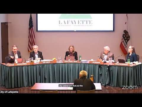
Lafayette — Assistant Chief Chris Bachman of the Contra Costa County Fire Protection District delivered a six‑month operational update to the Lafayette City Council on Oct. 21, highlighting recent call volumes, aerial response data and a new initiative to map fuel-break work countywide.
Key figures and operations: Bachman told the council the district now includes 37 stations after recent annexation activity and more than 670 personnel across the district. He reported Copter 1 — the district’s seasonal helicopter — responded to dozens of incidents and conducted 183 water drops totalling approximately 55,000 gallons during its in‑service window.
Fire activity and outcomes: Bachman said Lafayette’s July 4 period showed no significant local incidents and cited a small number of residential structure fires in 2025 so far; most were minor and did not escalate to multi‑alarm events. He presented a heat map of dispatch activity and said Lafayette showed lower vegetation‑fire increases than other parts of the district.
Fuel‑break mapping: The district is expanding an internal map of completed fuel breaks into a dataset that records the mitigation type (e.g., mastication, limbing and thinning, goat grazing), disposal method (chipping, hauling, lop-and-scatter), acreage and maintenance date. Bachman said the change responds to insurance-industry requests for more granular data to improve catastrophic‑fire modeling; the district intends to publish the mapping in phases and make portions available to the public and insurers in the coming months.
Preparedness and lessons learned: Bachman summarized after‑action reports from recent, large wildfires (including an LA‑area review), and said the district is evaluating evacuation tools and public‑warning systems. He noted the county will engage a third‑party reviewer for community warning systems and said the district will present a fire‑code update to the council in coming meetings to align local ordinances with recently updated California fire-code provisions.
Ending: Councilmembers asked about helipod siting, mapping timelines and grant/legislative funding efforts; Bachman said mapping data for insurance models will be phased and likely public in a few months, and that the district is coordinating with state and federal partners on prevention funding requests.