Get Full Government Meeting Transcripts, Videos, & Alerts Forever!
Get email alerts on the Land Use topic
No spam. Unsubscribe anytime.
Spokane County outlines EIS alternatives as residents press PFAS, roads and reuse concerns
Summary
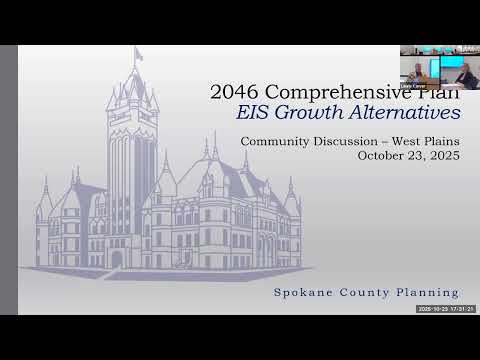
Spokane County planning staff presented three draft EIS alternatives and updated environmental mapping on Oct. 23 as residents pressed officials about PFAS contamination on the West Plains, aquifer boundaries and underfunded roads.
Spokane County planning staff presented three draft Environmental Impact Statement alternatives and associated mapping at a public meeting on Oct. 23, emphasizing choices between increasing density inside existing urban growth areas, maintaining current rules, or expanding UGA boundaries while protecting critical areas.
Chesney, a county planning staff member, told the audience the EIS work presents ‘‘bookend’’ growth scenarios and will inform a parallel update to the county—s Critical Areas Ordinance (CAO). He said the county plans to publish the draft EIS around Dec. 1, followed by a 45-day public comment period and subsequent briefings to the planning commission and the Board of County Commissioners on Oct. 30 and Nov. 3 respectively.
Why it matters: the alternatives under study would shape where housing is permitted and what environmental protections apply across the West Plains and other unincorporated urban growth areas. Residents pressed staff over groundwater contamination from PFAS, the boundaries and vulnerability of the West Plains basalt aquifer, the county—s capacity to maintain additional road miles, and whether the county prioritizes redevelopment of existing commercial sites over outward growth.
Staff described three alternatives. One assumes little or no regulatory change; another focuses on infill and higher residential densities inside existing UGAs (examples shown ranged from about 6 up to 18 dwelling units per acre, depending on context); and a third assumes lower historic densities but allows consideration of UGA boundary changes where parcels meet eligibility criteria (touching the UGA, adequate capital facilities including stormwater and treatment capacity, parcel size and transportation access, and exclusion of critical resource lands).
Community concerns centered on environmental and infrastructure risk. Multiple residents — including one who identified himself as ‘‘the pavement manager for Spokane County for 30 years’’ — said the county—s road system is underfunded and asked who will pay for maintenance if more road miles are added. That speaker said the county previously operated with a funding shortfall, stating ‘‘when I was still working there, we were $11,000,000 per year underfunded.’’ Planning staff replied that capital construction costs for new development are normally borne by developers and that ongoing maintenance must be supported by the tax base and accounted for in the county—s capital facilities plan.
On water resources and contamination, staff presented a best-available-science draft and PFAS sampling maps showing 2024 and 2025 sample sites. Consultant Chad Pritchard described hydrogeologic differences between the Spokane Valley–Rathdrum Prairie aquifer and the fractured-basalt West Plains aquifer and noted areas where basalt is near the surface, which reduces infiltration. Residents cited sample concentrations and complained the presentation showed a narrow ‘‘slice—— of the West Plains. One attendee said, ‘‘you've got the cart in front of the horse,’’ criticizing staff for discussing alternatives before finalizing critical-area boundaries; staff replied the CAO update and the best-available-science report will be incorporated into the EIS analysis and that the process is iterative.
Several speakers urged the county to prioritize adaptive reuse of vacant commercial properties (malls and big-box sites) where utilities and transportation already exist rather than allowing new low-density development at UGA edges. Planning staff said county analysis focuses on unincorporated UGAs adjacent to cities, that redevelopment inside city limits is primarily the cities— responsibility, and that the county has added adaptive-reuse incentives and criteria into the alternatives where feasible.
Process and next steps: Chesney said the draft EIS is scheduled for publication ‘‘on or around Dec. 1’’ and that there will be a public 45-day comment period. The county will take public comments at the planning commission hearing on Oct. 30 and brief the Board of County Commissioners on Nov. 3; meeting recordings and materials are posted to the county—s online channels. Chesney directed attendees to spokanecounty dot gov slash b p for documents and comment submission.
What remains unresolved: residents repeatedly requested clearer, earlier access to draft CAO text, the underlying mapping and sample data, and written reasons when individual parcel requests are denied from the study map. Staff said the map shown is an early study product and will be refined before formal hearings.
The county did not take any formal votes at the meeting; the session was a public outreach and information presentation on the EIS alternatives and associated scientific materials.