Farmington Hills council denies 33‑home Forest at Riverwalk subdivision after residents cite flooding, trees and road proximity
Get AI-powered insights, summaries, and transcripts
Subscribe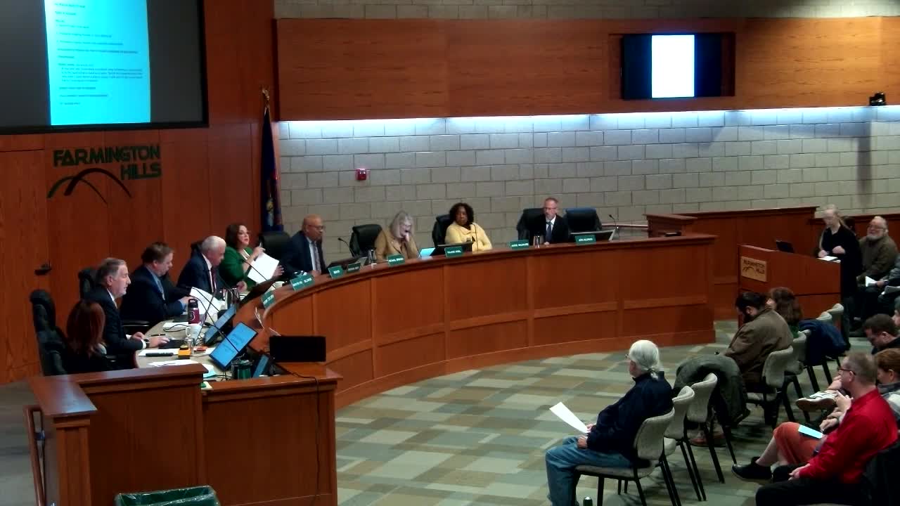
Summary
After more than two hours of resident testimony on flooding, trees and a road proposed yards from homes, the Farmington Hills City Council denied a 33‑lot cluster site plan for Forest at Riverwalk, citing drainage uncertainty, incompatibility with neighborhood character and road proximity to an existing house.
The Farmington Hills City Council voted Nov. 10 to deny a developer’s application to build 33 clustered single‑family homes on the Forest at Riverwalk site off Folsom Road, following extensive public comment and questions about wetlands, drainage and neighborhood character.
Charmaine Kettler Schmalt, the city’s director of planning and community development, introduced the project as a 16.3‑acre parcel (net 13.8 acres after right‑of‑way) proposed for 33 clustered units. The city’s consultant, Joe Tangari of Giffels Webster, told council the plan equates to about 2.38 units per acre and includes reduced front and side setbacks from the R‑A‑3 district standards. The developer said the cluster approach aimed to preserve wetlands and open space while concentrating homes in a smaller footprint.
Residents packed the council chambers during the public hearing and warned that the project would worsen longstanding water problems. Barbara Siebel said the planned road would sit “20 feet” from her bedroom window and described existing sump pumps and years of flooding; she told council, “How dare they build something 20 feet from my house.” Other neighbors described standing water in the spring, continuous sump‑pump use, and what they said were high groundwater and hydric soils in parts of the site.
Developer Stuart Michaelson and engineering representatives said they had obtained the required EGLE wetlands permit and that on‑site stormwater controls would be oversized, with detention basins sized to release runoff at roughly 60% of the typical allowed rate. The developer also said the project’s revised plan reduced lots from an earlier 38 and that the company would buy mitigation credits for a small amount of forested wetland.
Council members repeatedly said the packet did not provide the data they needed to be convinced the plan would not increase flooding for neighbors. Councilmember Knoll and others said the proposed road outlet onto Parker Road was located in an area residents report floods for long periods each year. Council members also expressed concern about the proximity of the public road to an elderly resident’s home and that the proposed lot sizes and two‑story homes would be “out of character” with adjacent one‑story lots.
At the close of deliberations Councilmember Michael Bridges moved to deny the application under section 34‑3.17 of the zoning ordinance on grounds that the plan was incompatible with the neighborhood, did not satisfactorily resolve drainage and placed a road unacceptably close to an existing home. The motion carried.
In a brief statement after the vote the developer disputed the decision, saying the project qualified under the ordinance and that engineering analyses would demonstrate the stormwater plan was self‑contained; council declined to approve the project.
Next steps: the developer may revise the application and return for further review, or pursue other authorized remedies. The public record for the meeting includes the planning commission’s earlier recommendation and the EGLE permit referenced by the applicant.