Get Full Government Meeting Transcripts, Videos, & Alerts Forever!
Get email alerts on the Flood Mitigation Munns Park topic
No spam. Unsubscribe anytime.
Coconino County lays out conceptual dam and levee options to reduce Muns Park flood risk
Summary
County flood control staff and consultants presented conceptual flood‑mitigation options for Muns (Munns) Park — including a regulatory flood‑retarding structure near Frog Tank and a containment levee at Pinewood Boulevard — and said feasibility, permitting and funding remain major hurdles.
Coconino County Flood Control District staff and consultants on Tuesday updated residents on a long‑term flood mitigation planning effort that identifies Muns Park as one of five unmitigated FEMA special flood hazard areas in the county. Flood Control District Administrator Lucinda Andreani said the county is re‑evaluating earlier engineering work and adding economic criteria to prioritize projects that could require "tens of millions of dollars" to construct.
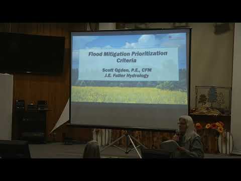
Scott Ogden, a professional engineer with J.E. Fuller Hydrology, described two leading conceptual solutions for the Muns Park basin. The first is a flood‑retarding structure — a regulatory dam that would temporarily store and meter peak flows during storms. Ogden said the concept, sited near Frog Tank on an unnamed upstream tributary, could provide on the order of 500–600 acre‑feet of storage at this conceptual level and "reduce the 100‑year discharges by somewhere between a 50 to 65%" in the canyon below, though he cautioned that modeling is incomplete and the cost would be large. Ogden described the structure as a regulated dam ("by all technical merits, it is a dam") designed to attenuate peaks, not to act as a permanent reservoir.
The second concept is a short containment levee along Pinewood Boulevard intended to keep flows in the main channel and prevent overflow through a low saddle into adjacent neighborhoods. Ogden said a carefully designed levee that remains inside existing rights‑of‑way could remove properties from the FEMA 100‑year floodplain and materially reduce local flood risk at a lower conceptual cost than the large storage option.
Both concepts face technical and regulatory constraints. Andreani said projects on National Forest land would need U.S. Forest Service approval, and many options require Army Corps or other federal permits. Ogden noted an earlier 2017 alternative to modify the I‑17 outfall could lower base flood elevation locally by about two feet at an estimated cost of roughly $2 million, but that work was set aside after a "no adverse impact" watershed test showed it could increase flood depths downstream (roughly a half‑foot to a foot in some locations).
Andreani and Ogden emphasized that the concepts remain high‑level: "these are purely conceptual level projects at this point," Andreani said, and substantial additional engineering, geotechnical surveys, environmental review and downstream impact analysis would be required before a construction decision. Andreani added that most grants require a positive benefit‑cost ratio (BCA): "it's got to have a better return on investment than what you spend," she said, and the county will compete nationally for limited federal and state funds.
The county plans to take the prioritized capital plan to the flood control board (the Board of Supervisors) in upcoming January briefings and into the spring budget process. Next steps include securing feasibility study funding, completing detailed hydraulics and geotech, coordinating with ADOT and the Pinewood Sanitary District on critical‑facility risk (highway overtopping and wastewater lagoon inundation were cited as key risks), and pursuing federal/state grant programs to support design and construction.
The meeting closed with staff promising to post the recorded presentation and slides to the Flood Control District website and to provide additional information to residents who contact the district.