Get Full Government Meeting Transcripts, Videos, & Alerts Forever!
Get email alerts on the Stormwater Vulnerability topic
No spam. Unsubscribe anytime.
North Lauderdale completes state-funded vulnerability assessment, looks to grants to fund flood fixes
Summary
Consultants told the City Commission that a state-funded Resilient Florida vulnerability assessment has identified flood-prone roads, lift stations and other assets and sets priorities that make the city eligible for implementation grants and future projects such as pump stations to manage rising tides.
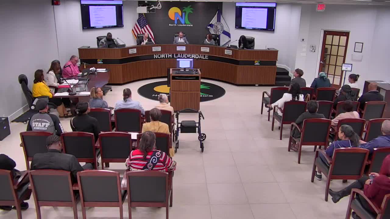
The City of North Lauderdale on Wednesday received the final presentation of a state-funded stormwater vulnerability assessment that maps current and future flood exposures and ranks municipal assets for protection.
Consultants from Chen Moore & Associates told the City Commission that the work — funded under the state's Resilient Florida program — overlays inundation maps for present-day and future scenarios (2024, 2050 and 2080) with city assets such as roads, lift stations and municipal buildings. "The money that was spent on this study was given to the city by the state," consultant Brent Whitfield said, adding that completing the assessment "checks the box" that allows the city to apply for implementation grants.
Why it matters: The assessment converts observed flood risks into prioritized projects and makes North Lauderdale eligible to compete for state implementation funds. Consultants said priority projects could include pump stations that move runoff east through the C-14 canal system; county and state agencies that manage downstream infrastructure will be part of any solution.
What the consultants presented: Whitfield and a colleague described a three-part analysis: exposure (which areas are inundated), sensitivity (how damaged assets would be at a given depth), and impact (how important the asset is to public safety and operations). Consultants used US Army Corps of Engineers depth-damage curves and an "Apex" adaptation-prioritization tool to score and rank more than a dozen asset types. The city was assigned a "medium" adaptive-capacity rating based on existing policies, its stormwater utility fee and capital fund, participation in the NFIP/CRS program, and existing outreach and planning work.
Commission reaction and next steps: Commissioners asked how the city could move from "medium" to "high" adaptive capacity. Consultants and staff said the next steps are to use the assessment to scope projects for grant applications and to pursue targeted capital work. "Completing this vulnerability assessment, you can now apply for funding for implementation grants," a consultant said. Staff also noted the assessment does not itself prescribe specific code changes, although communities can pursue CRS-related policy changes if they choose.
The commission did not take a vote on policy changes at the hearing; staff said project scoping and grant applications will follow and be returned to the commission for approvals.