Spokane Valley planners review three land‑use scenarios to meet 16,600‑unit housing allocation
Loading...
Summary
Consultants for Spokane Valley presented three preliminary future‑land‑use scenarios — limited rezones with targeted upzoning, urban growth area (UGA) expansion for commercial/industrial, and corridor‑focused stronger upzoning — to help the city meet a county/state housing allocation of about 16,600 units and comply with recent Washington housing laws.
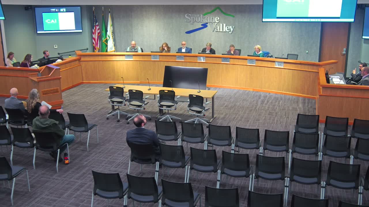
Spokane Valley — On Nov. 13, the Spokane Valley Planning Commission heard an initial presentation on three preliminary land‑use scenarios intended to help the city demonstrate enough land capacity to meet a county‑allocated target of roughly 16,600 housing units as required under state planning rules.
"My name is Elliot Weiss. I'm a senior planner with Community Attributes Incorporated," said Weiss, the consultant who walked commissioners through how statutory changes and local policy choices shape the future land‑use map. The presentation emphasized new state requirements — including House Bill 1110 (middle housing, 2023), House Bill 1220 (housing needs and AMI‑based allocations, 2021) and House Bill 1337 (accessory dwelling units, 2023) — that affect what the comprehensive plan must demonstrate.
Why it matters: the future land‑use map guides zoning, and local rezones must be consistent with that map. Weiss told the commission the city's current zoning plus the state‑required allowances (middle housing and ADUs by right in R1–R4) and modest density increases get Spokane Valley close to the 16,600 target but leave a modeled shortfall of about 512 units. "The 500 plus, it's about 512 in our current spreadsheet model," he said.
What was proposed: Weiss laid out three approaches the consultant team and staff used to model capacity.
- Scenario 1 — "limited rezone plus upzone": targeted rezoning of selected R4 parcels to multifamily residential (MFR) and moderate density increases in existing MFR, CMU (community mixed‑use) and MU (mixed‑use) zones; this distributes density changes across many districts and rezones identified R4 parcels west of Sullivan Road between Sprague Avenue and Valleyway Avenue to MFR.
- Scenario 2 — "UGA expansion": increases multifamily allowances in RC (regional commercial) and other zones and shifts the additional residential capacity (roughly the 500 units) onto land currently outside city limits (county land/UGA expansion) primarily to serve commercial and industrial growth rather than to solve residential allocation alone.
- Scenario 3 — "no rezone; stronger upzone": keeps R4 intact but raises multifamily density limits (in some places modeled up to about 40 dwelling units per acre) within existing transportation corridors and mixed‑use areas to find the remaining capacity.
Commissioners pressed staff on modeling assumptions including "by right" allowances, minimum lot sizes, and realistic uptake rates for owners building middle housing. Weiss clarified that "by right" means a use is permitted rather than conditional, but dimensional standards apply, and that not all property owners will develop to the maximum density.
Several commissioners requested a follow‑up session. Staff and the consultant said the slides and maps will be shared with the commission and that the scenarios will return as a regular agenda item with more detailed materials and possible work‑session formats. "Our intention tonight was really just to introduce this to you," Steve Roberge, administrative staff, said.
Next steps: staff and consultants will provide larger, clearer maps and return with a focused agenda item or work session so the commission can review specific parcel‑level proposals and model assumptions before any recommended changes to the future land‑use map or zoning code are forwarded to the City Council.