Get Full Government Meeting Transcripts, Videos, & Alerts Forever!
Planning commission reviews green infrastructure chapter, flags map ownership and implementation limits
Summary
Commissioners and the Central Shenandoah Planning District Commission reviewed the draft green infrastructure chapter of Lexington's comprehensive plan, recommending clearer map labels for privately owned or out-of-city trails, stronger city-led tree-canopy strategies for city property, removing a specific Waddell Elementary solar recommendation because of a roof-warranty issue, and continuing coordination on easements and regional connections.
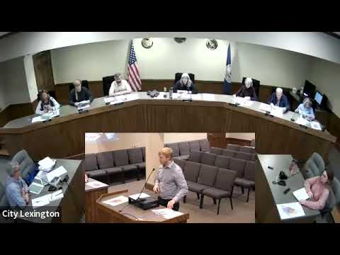
On Nov. 13 the Lexington Planning Commission spent most of its meeting reviewing the draft green infrastructure chapter of the 2025 comprehensive plan, probing map accuracy, ownership, and how draft objectives translate into actionable city policy.
Jeremy Crooch, director of planning with the Central Shenandoah Planning District Commission, summarized the chapter as an overview of topography, soils, air quality, tree canopy, open space, stormwater and other resources, followed by a needs assessment and recommended goals, objectives and strategies. "The green infrastructure chapter does provide that overview of all the green infrastructure resources ... and then tries to take all that information incorporated into the ... needs assessment and then the goals and then the strategies," Crooch said.
Commissioners repeatedly returned to the plan's maps, asking that features outside Lexington's city limits or on private land be clearly labeled. The draft currently shows the Chesnee/Chesnee Nature Trail and other…
Already have an account? Log in
Subscribe to keep reading
Unlock the rest of this article — and every article on Citizen Portal.
- Unlimited articles
- AI-powered breakdowns of topics, speakers, decisions, and budgets
- Instant alerts when your location has a new meeting
- Follow topics and more locations
- 1,000 AI Insights / month, plus AI Chat