Get Full Government Meeting Transcripts, Videos, & Alerts Forever!
Get email alerts on the Comprehensive Plan Green Infrastructure topic
No spam. Unsubscribe anytime.
Planning commission reviews green infrastructure chapter, flags map ownership and implementation limits
Summary
Commissioners and the Central Shenandoah Planning District Commission reviewed the draft green infrastructure chapter of Lexington's comprehensive plan, recommending clearer map labels for privately owned or out-of-city trails, stronger city-led tree-canopy strategies for city property, removing a specific Waddell Elementary solar recommendation because of a roof-warranty issue, and continuing coordination on easements and regional connections.
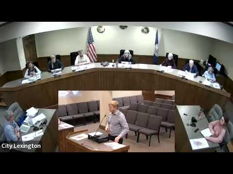
On Nov. 13 the Lexington Planning Commission spent most of its meeting reviewing the draft green infrastructure chapter of the 2025 comprehensive plan, probing map accuracy, ownership, and how draft objectives translate into actionable city policy.
Jeremy Crooch, director of planning with the Central Shenandoah Planning District Commission, summarized the chapter as an overview of topography, soils, air quality, tree canopy, open space, stormwater and other resources, followed by a needs assessment and recommended goals, objectives and strategies. "The green infrastructure chapter does provide that overview of all the green infrastructure resources ... and then tries to take all that information incorporated into the ... needs assessment and then the goals and then the strategies," Crooch said.
Commissioners repeatedly returned to the plan's maps, asking that features outside Lexington's city limits or on private land be clearly labeled. The draft currently shows the Chesnee/Chesnee Nature Trail and other regional linkages; the commission recommended adding asterisks or plain-language notes to indicate private ownership or non-city locations so readers do not assume city jurisdiction or ownership. "Maybe it needs that" and "not in the City of Lexington" were suggested as clarifying labels during discussion.
Access and easement issues surfaced in the Woods Creek Trail discussion. Commissioners noted portions of that trail cross Virginia Military Institute and Washington & Lee property; staff and CSPDC said those institutions have provided public access but are unlikely to cede additional easements. One commissioner observed the city should keep a placeholder about easements for future opportunities even if prospects are limited.
Environmental strategies drew practical and governance questions. Commissioners pressed for stronger language about protecting and increasing Lexington's urban tree canopy and favoring native species on city-owned property; staff recommended education, collaboration with the city arborist and the tree board, and adding a zoning 'hot file' item to update recommended plant lists. "As much as possible, when you're going to be planting trees on city-owned property ... use native species," Crooch said when describing how other localities frame city-owned-lands strategies.
The commission also recommended removing a sentence that encouraged installing solar panels at Waddell Elementary after staff said prior investigation found rooftop solar could void the school's roof warranty. "I recommend striking that last part of the sentence because we investigated that, and we would lose the warranty on the roof if solar panels were put on," a staff member said.
Commissioners discussed whether several objectives should be absolute (for example, "in all development and redevelopment") or reworded to be achievable ("as feasible," or dropping the word "all"). They also recommended clarifying who is expected to lead or collaborate on particular strategies; for example, participants suggested marking which actions are primarily city-led and which will rely on partners such as Rockbridge Outdoors, Rockbridge Conservation, Habitat for Humanity, the Central Shenandoah PDC, and Soil & Water Conservation District programs and grants.
Staff reported related progress on capital projects tied to green infrastructure, including phased improvements at Jordan's Point Park that are currently out to bid and a new mapping/GIS tool on the city's website. The commission set a schedule to continue the review at a future meeting and encouraged members to submit written, line-by-line comments to staff for inclusion in the next draft. A public-input session on the comprehensive plan was announced for Dec. 9 at 5:30 p.m. at RARA's Piavano Room.
Next procedural steps: staff will incorporate the commissioners' clarifying edits (map ownership markers, rewording absolute goals, noting lead implementers) and accept written comments for the final draft; the commission will resume discussion of remaining chapters and implementation items at a future meeting.