Get Full Government Meeting Transcripts, Videos, & Alerts Forever!
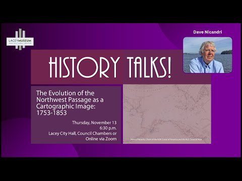
Historian traces 1753–1853 evolution of the Northwest Passage at Lacey Museum talk
Summary
Historian Dave Nicanry outlined three centuries of changing maps and motives—from 18th-century speculative charts and Cook’s Arctic setbacks to fur-trade mapping, Mackenzie and Vancouver surveys, and 19th-century railroad surveys—during a Lacey Museum public lecture.
Dave Nicanry, a historian and former director of the Washington State Historical Society, gave a public lecture at the Lacey Museum on the evolution of the Northwest Passage as a cartographic concept from about 1753 to 1853. Nicanry opened by tracing the idea back to post‑Columbian European ambitions for a shortcut to Asia, noting that early explorers including Baffin, Frobisher and Hudson repeatedly failed to find a navigable ocean‑to‑ocean route because of ice and uncharted land.
Nicanry highlighted an illustrated 1753 chart that depicted a large western inlet—what mapmakers called the “Bay of the West”—and explained how Enlightenment‑era cartographers used the notion of equipoise or counterpoise (mirroring large bays on opposite sides of a continent) to project such features. He said Russian…
Already have an account? Log in
Subscribe to keep reading
Unlock the rest of this article — and every article on Citizen Portal.
- Unlimited articles
- AI-powered breakdowns of topics, speakers, decisions, and budgets
- Instant alerts when your location has a new meeting
- Follow topics and more locations
- 1,000 AI Insights / month, plus AI Chat