UN DESA releases World Urbanization Prospects 2025 with new 'degree of urbanization' measure; cities expected to house 45% of world population
Get AI-powered insights, summaries, and transcripts
Subscribe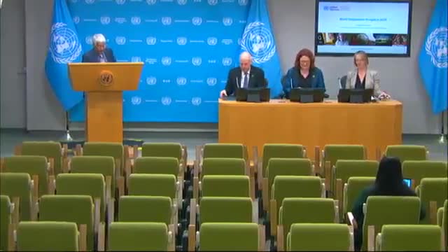
Summary
The United Nations Department of Economic and Social Affairs released World Urbanization Prospects 2025 and an expanded dataset that applies a new standardized "degree of urbanization" method. The report finds 45% of the world’s 8.2 billion people live in cities in 2025 and highlights built-up area growth outpacing population growth.
The United Nations Department of Economic and Social Affairs (UN DESA) on Friday released World Urbanization Prospects 2025, an updated dataset and report that apply a new standardized "degree of urbanization" methodology intended to improve international comparisons of cities, towns and rural areas.
Bjork Sankir, UN DESA’s assistant secretary-general for policy coordination, opened the briefing and said the release “offers updated estimates and projections of population and land use across cities, towns, and rural areas,” and that copies of the report and a QR code were available for attendees. She framed the work as central to sustainable development and monitoring Sustainable Development Goal 11 on cities.
The report presents two parallel series. John Wilmeth, director of UN DESA’s Population Division, said the first series follows national definitions of “urban” reported in country censuses and thus reflects domestic classifications over time. The second uses a standardized, grid-based degree-of-urbanization approach—developed by the European Commission’s Joint Research Centre and refined with UN partners—to classify settlements along a rural–urban continuum. Wilmeth said the harmonized approach maps population to 1-square-kilometer grid cells and groups land into categories later simplified in the report to cities, towns and rural areas.
Sarah Hertog, a UN DESA population affairs officer, presented the report’s headline findings. In 2025, 45 percent of the world’s roughly 8.2 billion people are estimated to live in cities, 36 percent in towns and 19 percent in rural areas. The WUP includes population estimates and projections for more than 12,000 cities; Hertog noted 33 megacities of at least 10 million inhabitants in 2025, with Jakarta cited at nearly 42 million and projections showing Dhaka, Bangladesh, may surpass Jakarta by 2050.
Hertog also highlighted new land-use indicators included in the 2025 edition. For the first time the dataset provides built-up-area estimates, which show expansion of built-up areas is outpacing population growth: the average built-up area per person rose from 43 to 63 square meters between 1975 and 2025. Hertog said those indicators can help describe the efficiency of land use and support planning.
In a question-and-answer session, journalists asked how the findings should shape policy. Sankir said the dataset is intended to help policymakers, development partners and civil society plan services and infrastructure—education, health, sanitation and other systems—by indicating where growth is likely and which cities may need resources. Wilmeth added that the dataset expands city coverage from about 1,900 cities in earlier editions to roughly 12,000, improving the ability to identify fast-growing smaller cities.
Report authors and presenters emphasized caveats about comparability and uncertainty. Wilmeth and Hertog noted that national-definition series reflect historical changes in countries’ own urban definitions and are not harmonized over time, while the degree-of-urbanization series was standardized across countries and time as far as input data allow. They also cautioned that older satellite imagery and historical census detail can reduce certainty for earlier decades.
The report names several institutional partners in producing and reviewing the new dataset, including the Joint Research Centre of the European Commission, UN Statistics Division, UN-Habitat, UNFPA, the Food and Agriculture Organization, the Organization for Economic Co-operation and Development and the World Bank. The World Urbanization Prospects 2025 and the degree-of-urbanization dataset are being made available online by UN DESA.
The briefing concluded after a final round of questions; presenters reiterated that the report and dataset are tools meant to inform planning and that local authorities will still need more detailed, place-specific data for city-level planning.