Continental Divide Trail coalition seeks Rawlins support for downtown ‘destination district’ design
Get AI-powered insights, summaries, and transcripts
Sign Up Free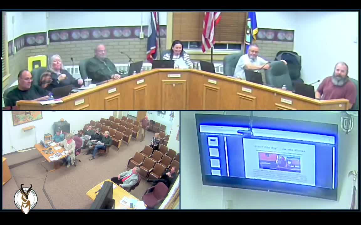
Summary
The Continental Divide Trail Community Committee and partners asked Rawlins City Council to back a multi-destination district plan that would concentrate trailway amenities, signage and marketing in a four-block area downtown. The committee requested the council’s endorsement (not funding tonight) and described a roughly $50,000 design contract, water caches, signage and a proposed July 'Halfway Days' event.
Pam Thayer, executive director of the Continental Divide Trail Community Committee, told Rawlins City Council on Nov. 18 that the community can capitalize on a rare convergence of routes — the Continental Divide Trail, Lincoln Highway, Transcontinental Railroad and long-distance bicycle and air‑mail routes — and asked the council to support a proposed downtown “multi-destination” district. The committee emphasized this would be an economic and heritage draw for Rawlins.
Thayer and committee members described a two-track plan: build trail infrastructure (water caches, wayfinding, possibly restroom/shower information at the fairgrounds) and hire a landscape/placemaking design team to translate the concept into streetscape plans. “We are not asking for any money here tonight,” Thayer said, but the design work the committee has scoped is expected to be about $50,000, which would be funded with state destination-marketing dollars administered through Discover Carbon County if their board approves it.
Leslie Jefferson of Discover Carbon County described the tourism case: through‑hikers and day hikers stop and spend locally, and the county already sees substantial out‑of‑county visitation related to the Wyoming Frontier Prison and other attractions. Jefferson said the committee envisions a four‑block district with interpretive elements, iconic markers and coordinated marketing; she cited earlier master‑planning work and local merchants’ interest.
Committee members said practical improvements under consideration include two water caches (a structure to hold 5‑gallon jugs), QR‑coded information linking hikers to local services (food, lodging, showers at the fairgrounds), enhanced underpass signage, and tasteful placemaking such as murals or lighting. Pam Thayer said two landscape firms — Ayers & Associates and Tallgrass Landscape Architects — have expressed strong interest and were consulted to provide cost estimates.
Council members asked implementation questions. One member asked whether hikers typically stay in hotels; Jefferson said they use a mix of hotels and campground options and that some groups stayed multiple nights. Council members also discussed signage and artist rehanging in the underpass by the post office. Vice Mayor Garner raised the broader rail/ownership question tied to Union Pacific; committee members said the trail and historic resources already cross local and federal jurisdictions and that coordination is part of the work.
Thayer and the committee asked only for city support and partnership at this meeting and said they will return with board approvals and funding requests if Discover Carbon County and other partners move forward. The council did not take formal action on funding at the Nov. 18 meeting; next procedural steps noted by the committee included further work with the CDT Coalition and an upcoming Discover Carbon County board discussion.
The committee also previewed a proposed celebratory event, 'Halfway Days' (mid‑July), and suggested a suite of marketing tools and small infrastructure investments to encourage visitors to linger. Committee members emphasized that many elements — placement of signage, exact district boundaries and funding sources — remain to be finalized.