Get Full Government Meeting Transcripts, Videos, & Alerts Forever!
Get email alerts on the Climate Outlook topic
No spam. Unsubscribe anytime.
State climatologist: three years of deficient snowpack compounded by warm, dry 2025; La Nia1a raises hope but recovery uncertain
Summary
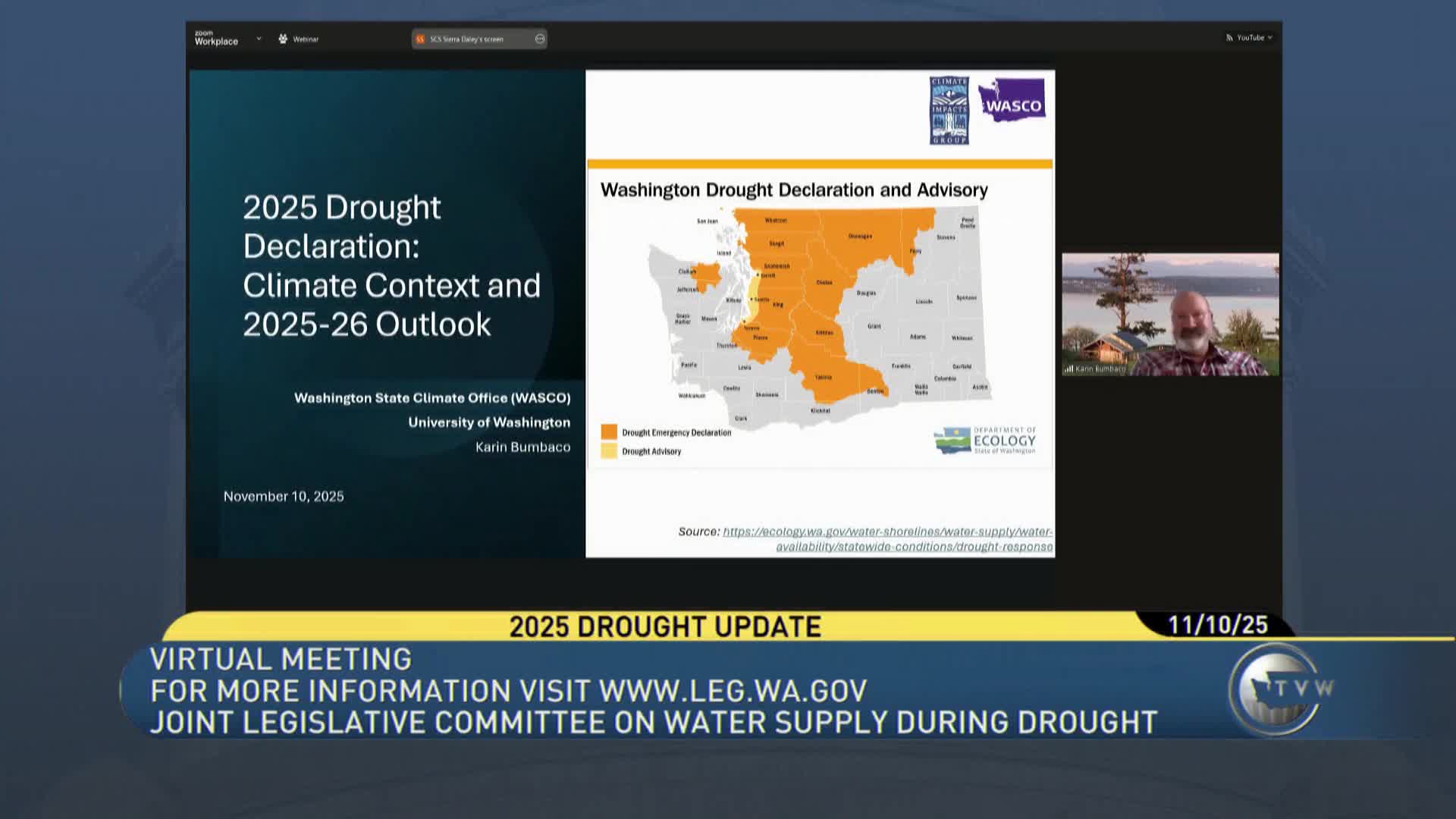
Deputy state climatologist Karen Bombacco told a legislative committee that a string of low snowpack years and a very warm 2025 produced persistent water deficits; a weak La Nia1a raises odds of a wetter winter but temperature uncertainty means recovery in basins like Upper Yakima is unlikely in a single year.
Karen Bombacco, Washington's deputy state climatologist, told the Joint Legislative Committee on Water Supply that the state's drought reflects a combination of three consecutive years of below-average snowpack and an unusually warm, dry 2025 water year.
Bombacco presented April 1 snowpack figures showing many Cascade locations well below median (Central Puget Sound reported around 67% of median) and described January as especially anomalous, with statewide precipitation at roughly 35% of normal and ranking among the driest since 1895. Snowpack also peaked early this year (March 25 compared with a typical April 5 peak) and melted quickly in April, reducing storage that normally supports summer flows.
She said statewide April'June 2025 fell into the warmer-and-drier quadrant historically, with that period among the driest on record. Combined with low precipitation from July through September and multi-year deficits, Bombacco said the cumulative shortfall is substantial: on average around 16 inches of missing precipitation statewide over three water years, with individual basins facing larger deficits.
On the seasonal outlook, Bombacco said a weak La Nia1a is present in the tropical Pacific, which historically correlates with slightly cooler winter temperatures and increased precipitation in parts of Washington. She and other presenters described higher confidence in a precipitation uptick than in cooler temperatures, and cautioned that even a wetter winter may not erase deep deficits in basins such as the Upper Yakima, which has accumulated roughly a 42-inch shortfall over three years.
Bombacco also reviewed long-term projections: continuing warming is expected to raise the rain'snow elevation, shrinking April 1 snowpack. She cited model-based projections that by the 2080s April 1 snowpack could be roughly half of historical averages, noting that hydrologic regimes will shift toward larger winter flows and lower summer flows in many mixed snow'rain watersheds.
The committee followed with questions about climate model reliability and local microclimate variability. Bombacco distinguished short-term weather forecasts from climate-model projections, saying the latter are intended to describe multi-decade averages and the long-term trajectory even as year-to-year variation continues.
The most recent takeaway Bombacco offered: recent years'warm temperatures, below-normal precipitation and earlier melt have produced deficits that will be difficult to erase with a single wet winter, and the frequency of snowpack-drought conditions is likely to increase without management and resilience measures.