Get Full Government Meeting Transcripts, Videos, & Alerts Forever!
Get email alerts on the Land Use Rezoning topic
No spam. Unsubscribe anytime.
Laramie council certifies future land use change and adopts R‑3 zoning for West Side parcels
Summary
The Laramie City Council certified a Planning Commission amendment to the comprehensive plan changing about 33 acres from urban commercial to urban residential and then adopted an ordinance rezoning two parcels to R‑3 multifamily residential, 7–1, after residents raised concerns about flood risk, neighborhood scale and notice.
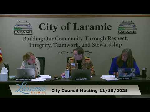
The Laramie City Council on Nov. 18 certified a Planning Commission decision to amend the city—s future land use map for about 33 acres in the city—s western area and then approved an ordinance establishing R‑3 multifamily residential zoning for two parcels.
Planner Emma Dixon told council the change from urban commercial to urban residential aligns the comprehensive plan with more recent housing plans, including the Housing Action Plan 2030 and Thrive Laramie, and does not itself authorize development or rezone property. "This amendment does not approve any development, nor does it rezone the property," Dixon said, adding that the amendment "establishes the policy basis for which zoning districts can actually be considered." She noted a typographical notice error but said minor defects in notice do not impair proceedings under the municipal code.
Members of the public urged different outcomes. Eric Henderson, a West Side resident, asked that the matter be postponed after he said the mailed notice listed the wrong day and did not properly notify residents within 300 feet. Several neighbors, including Gwendolyn Christie of the Albany County Historic Preservation Board and Wendy Chapman, asked the council to favor an R‑2 designation over R‑3, citing the parcel—s role in local flood mitigation and the area—s historic scale. Christie said, "If that permeable ground surface is taken up, the West Side neighborhood will flood worse than it already does." Chapman urged looking at land-swap options and preserving the site—s floodplain function.
Brad Enzi, president of the Laramie Chamber Business Alliance and the applicant—s representative, said the change was owner-initiated and intended to enable housing opportunities: "The landowners took the initiative to really try to put this into housing...and find a housing partner to come in and start addressing those needs." He stressed the future-land-use change is a policy step and that specific development proposals would return to council.
Council members debated notice, drainage and compatibility; several emphasized that engineering and drainage review occur at later development stages. After questions about whether postponing certification would prevent timely zoning consideration, the council certified the Planning Commission decision (motion by Councilor Bowling, second by Councilor O—Doherty) by roll-call vote 8–0 with one absence. Immediately afterward, the council took up and approved Ordinance 2112 on third reading to establish R‑3 zoning for the two parcels by a roll-call vote of 7–1 (one councilor opposed, one absent).
Next steps include the standard development-review processes: projects with more than three dwelling units will require site-plan review and engineered drainage submissions, and subdivisions must follow the preliminary and final plat process, each with additional public comment opportunities. The ordinance reduces the maximum height for the sites from 65 feet (industrial I‑2) to 50 feet under R‑3, and staff said any future development must meet FEMA and city floodplain standards.