Lifetime Citizen Portal Access — AI Briefings, Alerts & Unlimited Follows
Highlands County workshop maps conservation priorities; North Florida Land Trust leads dot‑vote to shape potential referendum
Loading...
Summary
At a Ridge to River workshop, North Florida Land Trust staff described seven map‑based conservation values (species habitat, water, agriculture, corridors, recreation, cultural resources), explained funding and feasibility polling, and asked attendees to prioritize values using a three‑dot voting exercise.
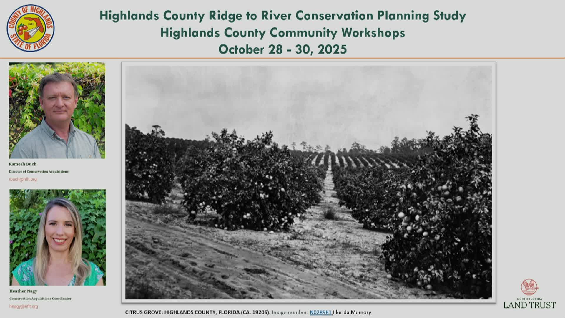
Ramesh Butch, a North Florida Land Trust consultant, opened a Ridge to River community workshop in Highlands County and told residents the session’s purpose: to gather public priorities that could shape a future local land‑conservation referendum. Butch said each attendee would get three red dots to place on maps showing candidate conservation values and that online participants could cast the same three votes through a survey tool.
The meeting framed how a county program typically works and why communities adopt one. Butch described conservation easements, how counties and land trusts use easements or purchases to protect water supplies, wildlife corridors and working farms, and explained two common compensations to landowners: payment for an easement or tax benefits if the easement is donated. "What an easement does is it separates that bundle," Butch said, using the "bundle of sticks" metaphor to explain which property rights are retained and which are given up.
Heather Nagy, Strategic Initiatives Manager at the North Florida Land Trust, presented seven candidate maps derived from subject‑matter expert panels and statewide data. Nagy described each map and the data layers used: threatened and endangered species and priority habitats (scrub‑jay, panther, black bear), surface water features and TMDLs, drinking‑water supply wells and aquifer recharge areas, wildlife corridors including the Florida Wildlife Corridor and panther least‑cost routes, agricultural lands and USDA‑designated farmlands of unique importance, existing public recreation access and opportunities for new access, and cultural/historic resources identified by the State Historic Preservation Office. "The dark blue areas provide the highest potential" for recharge, Nagy said of the drinking‑water map.
Butch and Nagy emphasized the importance of precise referendum wording and an evaluation tool that ties acquisition decisions to the values voters select. Butch said a feasibility study usually polls 300–500 likely voters to test whether a program would pass and what funding mechanism (property tax, sales tax, special assessment) and per‑household cost voters would tolerate. He described a common target: roughly 60% support to pass a referendum and a practical aim of 65%–67% to allow for drop‑off at the ballot box.
Using past local examples, Butch illustrated potential scale and tradeoffs. He cited Alachua County’s early property‑tax approach and later sales‑tax versions, and offered a sample outcome from that county: a $25 per household average for 20 years raised roughly $29 million in bond proceeds that the county leveraged with state and federal funds for a larger cumulative conservation investment. Butch cautioned that owning land requires ongoing management: "There is going to be continuing cost to managing stuff," he said, noting counties often reserve some bond proceeds or program funds for trails, signs and maintenance.
Workshop participants asked clarifying questions about how maps differ (surface water vs. drinking water/recharge), how existing federal easements affect local purchases, and how cultural resources are represented on public maps. Nagy said some archaeological or sensitive historic information is intentionally excluded from public GIS layers to protect sites from looting and trespass. The presenters stressed that local matching funds increase competitiveness for state and federal grants, citing programs such as the Department of Environmental Protection’s grant programs and the Rural and Family Lands Protection Program.
The session concluded with dot‑matrix voting instructions and an invitation to place dots on printed maps at the front of the room. Butch said the Land Trust will combine onsite and online votes with expert panel input, prepare a "green print" report that documents methodology and results, and provide a manual of best practices for a potential referendum and program implementation for the County Commission to review.