Get Full Government Meeting Transcripts, Videos, & Alerts Forever!
Get email alerts on the Infrastructure Demolition topic
No spam. Unsubscribe anytime.
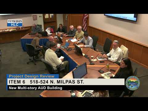
Historic Landmarks Commission approves Los Patos Bridge demolition findings, directs stronger interpretive plaque
Summary
The commission approved demolition findings for the Los Patos Bridge based on the Planning Commission‑certified EIR, with mitigation measures including salvaging sandstone and an interpretive plaque. Commissioners asked for substantial plaque design, accessible signage, documentation (including a 3‑D scan) and further study of the roadway’s historic role.
The Santa Barbara Historic Landmarks Commission voted Nov. 19 to approve demolition findings for the Los Patos Way underpass (the Los Patos Bridge) following certification of an environmental impact report by the Planning Commission on Nov. 6, 2025. The approval includes mitigation measures described in the EIR and specific documentation requirements recommended by the HLC.
Eric Goodall, the city’s project engineer, walked the commission through demolition plans: the bridge and abutments will be removed, the railroad track area will be filled so tracks rest on engineered fill, and landscaping will replace previously proposed maintenance paths. Goodall said the project team will “salvage materials that we can use and install the interpretive display” and that usable sandstone from the abutments will be incorporated into the plaque base. He said Union Pacific has indicated it retains ownership of the steel girders and is not interested in releasing them to the city: “If the sandstone and the steel girders could both be salvaged, they effectively told us we own the steel, we being Union Pacific, and they're not interested in giving it to us.”
Commissioners pressed staff and the applicant on alternatives and documentation. Commissioner Drury said it had not been demonstrated to him that full removal was necessary, and several commissioners urged more extensive photographic and three‑dimensional records of the bridge and its context. The commission asked staff to require a National Park Service–style photographic record and a 3‑D scan as part of the mitigation package; the motion that passed included those documentation requirements.
Separately, commissioners reviewed a proposed interpretive plaque concept that would reuse salvaged sandstone. The HLC directed staff to study the plaque location and orientation so viewers can imagine the bridge’s former position, to design a larger, abutment‑like base for the plaque, to investigate whether the roadway beneath the bridge was the historic approach to the city (and if so to reflect that in plaque text) and to explore accessibility solutions so the plaque is viewable by people with mobility limitations. The commission continued the plaque concept indefinitely with those comments so staff and the applicant can return with refined design and documentation plans.
The commission’s motion to approve the demolition findings was a roll‑call majority and was recorded; the plaque review will return at a future meeting once staff and the applicant revise the design per the HLC’s direction.