Get Full Government Meeting Transcripts, Videos, & Alerts Forever!
Get email alerts on the Land Use Rezoning topic
No spam. Unsubscribe anytime.
Commissioners approve subdivision and partial rezoning of 160‑acre Seagate Drive parcel
Summary
On Nov. 17, 2025 the Carteret County Board of Commissioners approved a plan to subdivide a 160‑acre Seagate Drive parcel into 19 tracts and to rezone 18 of those tracts from RA to R15, following a 6‑0 planning commission recommendation and a voice vote by the board.
The Carteret County Board of Commissioners voted Nov. 17 to approve a proposal to subdivide a 160‑acre parcel on Seagate Drive into 19 tracts and to rezone 18 of those tracts—about 19.15 acres total—from RA (rural agricultural) to R15 (single‑family residential).
Planning staff and the applicants presented the proposal during a public hearing. Planning consultant Matt Renau summarized the plan, saying the applicants "propose to divide it into 19 tracts then rezone 18 tracts," noting that Tract 1 (about 140.87 acres) would remain zoned RA and that Tracts 2 through 19 would be rezoned to align with neighboring R15 lots to the east. The staff packet, and the planning commission, recommended approval; the planning commission voted 6‑0 to forward the case with a positive recommendation.
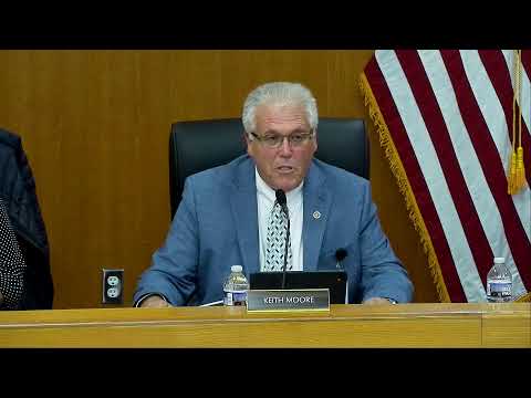
The assistant county manager read a consistency statement for Case No. 2025‑00049, finding the request "consistent with the goals, objectives, and policies of the Campbell Land Use Plan" because it aligns with existing R15 zoning on adjacent lots and because surrounding property owners supported the application. Following the staff presentation and a brief public hearing, Vice Chairman Mansfield moved to approve the subdivision and rezoning; Commissioner Moore seconded the motion. The board approved the request by voice vote. The minutes record the motion and that the board "all in favor" but do not include a roll‑call tally.
Supporters of the proposal told commissioners the project would create lots roughly ranging from three‑quarters of an acre to just over three acres and align lot lines with existing owners across the street. Planning staff told the board that 64 property owners were notified and that the office had received four written objections and 18 notices of no objection prior to the hearing. The staff presentation included maps and proposed lot dimensions.
The decision will allow the applicants to proceed with subdivision steps required by county land‑use rules. The board did not attach additional conditions in the meeting record; any permit conditions or requirements will be handled through the county's standard subdivision and permitting process.
Case No. 2025‑00049 can be referenced for documents and maps filed with the planning office. The board adopted the planning commission's consistency statement as part of its action.
The board moved on to other agenda items following the approval; no further action on this parcel was recorded at the meeting.