Get Full Government Meeting Transcripts, Videos, & Alerts Forever!
Plan commission adopts updated FEMA FIRM language and maps effective Feb. 20, 2026
Summary
The commission approved a zoning text amendment and map adoption to incorporate FEMA FIRM floodplain language and updated maps, with staff saying changes are minor and typically affect mortgage/insurance reviews rather than prompting immediate action by homeowners. The map adoption takes effect Feb. 20, 2026.
The West Bend Plan Commission unanimously approved updates to the city’s floodplain regulations and adopted the official FEMA Flood Insurance Rate Maps (FIRM) as proposed, with an effective date of Feb. 20, 2026.
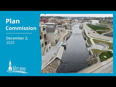
Planning staff said the proposed text amendment adopts standard statewide FEMA wording with minor local modifications to address flood and wetland districts that affect areas along the Milwaukee River and…
Already have an account? Log in
Subscribe to keep reading
Unlock the rest of this article — and every article on Citizen Portal.
- Unlimited articles
- AI-powered breakdowns of topics, speakers, decisions, and budgets
- Instant alerts when your location has a new meeting
- Follow topics and more locations
- 1,000 AI Insights / month, plus AI Chat