Get Full Government Meeting Transcripts, Videos, & Alerts Forever!
Get email alerts on the Land Use Agriculture topic
No spam. Unsubscribe anytime.
Board weighs farmland conversion, open‑space plan and locally important historic buildings
Summary
The board debated agricultural‑soil impacts and the irreversible conversion of former hay fields to residential development while noting the project proposes adaptive reuse of historic buildings; members requested precise acreage figures, soil mapping, and further review of the town farmland protection plan.
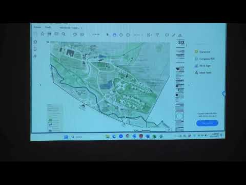
Planning staff told the board the parcel contains about 83 acres of soils classified as farmland of statewide importance or soil groups 1–4, and several former hay fields planned for development. Members discussed whether the proposed conversion of agricultural land and changes to drainage or land use warrant marking Part 2 agricultural questions as Moderate/Large.
The applicant said equine and agricultural uses would remain in parts of the site, and that some fields have been inactive and mowed (not actively farmed). Board members asked for clearer acreages of the specific hay fields that would be converted. The board also discussed potential conservation easements for undeveloped areas — noting that an easement requirement would need a rational nexus to any demonstrated impacts.
On historic resources, the board noted a Phase 1A/1B archaeological reconnaissance and a building assessment that produced a State Historic Preservation Office (SHPO) 'no effect' letter for state/national resources. The applicant plans to adaptively reuse locally identified historic buildings; the board discussed whether adaptive reuse changes the Part 2 visual or setting analyses and asked for SHPO follow‑up letters for bridge work areas not covered by the initial studies.
The board left agricultural and open‑space Part 2 items open where mapping or acreages were unclear, and requested additional soil‑map exhibits, the farmland protection plan language relevant to this parcel, and any follow‑up SHPO documentation.