Get Full Government Meeting Transcripts, Videos, & Alerts Forever!
Get email alerts on the Station Area Plan topic
No spam. Unsubscribe anytime.
Planning commission pauses station area plan after extended public comment; work session requested
Summary
After a lengthy presentation of the draft Springville Station Area Plan and more than an hour of public comment focusing on traffic, groundwater, school capacity and a proposed rail overpass, the planning commission voted to continue the item and asked staff to prepare revisions and a public work session.
The Springville Planning Commission on [date of meeting] heard a detailed presentation on a draft Station Area Plan intended to shape development around a future Frontrunner commuter-rail station and then voted to continue the item so staff could address public concerns.
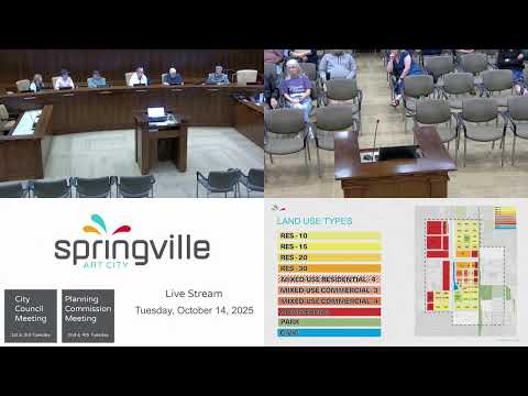
Planning director Josh Rios summarized the plan area (roughly between 1200 West and 1750 West, and 400 South to Center Street), explained how the 2002 Westfields Community Plan anticipated a village-center and commuter rail, and described land-use types being proposed: residential categories ranging from 'residential 10' to 'residential 30', mixed-use cores up to four stories, and a resulting planning-area yield of about 1,311 dwelling units across roughly 158 acres (staff presented an estimated net density of about 8.3 units per acre). Rios said the plan was undertaken in part to meet requirements in House Bill 462 and to qualify for federal and regional planning resources through UTA and MAG.
Much of the commission’s discussion and the public hearing focused on neighborhood impacts. Dozens of residents described concerns about a proposed east–west grade-separated crossing (an overpass the planning discussion located at roughly 9th South), potential foundation or groundwater effects in areas known for high water tables, existing crash hot spots on 1750 West and the 400 South corridor, privacy and visual impacts to backyard areas, and school capacity. Multiple residents asked whether the east–west crossing could be moved (for example, to 700 South) or whether alternatives could reduce impacts on existing homes. Several speakers urged more detailed traffic and safety analysis and for the city to embed stronger buffers and design transitions where denser development abuts existing single-family neighborhoods.
Rios and staff responded that some elements — notably the overpass alignment and the Frontrunner design — are being advanced by UTA and the railroad and that federal environmental review for the Frontrunner project will include opportunities for detailed studies (noise, vibration, traffic, environmental impacts) and public comment. Staff said utility capacity and transportation networks were anticipated in previous planning, that the city has been planning for a station-area connection for many years, and that some degree of density was already allowed under the 2002 plan; but staff also said they could produce a more diagrammatic (less prescriptive) land-use map, add clearer descriptions of what the area plan would control versus what would be addressed in later zoning/regulating plans, and coordinate public-safety analysis with the police chief.
Commissioner (Speaker 5) moved to continue the Station Area Plan to a future date to allow staff time to incorporate commission guidance and public comments and to hold a planning-commission work session; the motion was seconded and carried by voice vote. The commission asked staff to return with a clearer, more diagrammatic map that explains which elements of the plan are vision-level and which will have regulatory force, a summary of likely impacts and mitigation options for traffic and public safety, and proposed engagement opportunities such as a public work session.
Next step: staff will revise the draft plan, schedule a public work session for commissioners and residents, and re-notify the public with an updated schedule and materials. Major technical analyses and the Frontrunner environmental review will provide later opportunities to review bridge alignment, traffic modeling and mitigation measures.