Get Full Government Meeting Transcripts, Videos, & Alerts Forever!
Get email alerts on the Coastal Resiliency topic
No spam. Unsubscribe anytime.
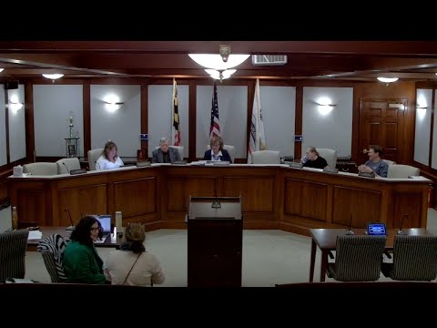
Critical Area staff outline coastal‑resiliency overlay, fee‑in‑lieu options at Chesapeake Beach meeting
Summary
Critical Area Commission staff explained a proposed resilience overlay that would target sea‑level rise and flooding, described fee‑in‑lieu options to fund off‑site resilience projects, and fielded commissioners’ questions about mapping, freeboard and local administration.
Critical Area Commission staff told the Chesapeake Beach Planning & Zoning Commission on Nov. 19 that a resilience overlay could give the town regulatory tools to address sea‑level rise and flooding, and that fee‑in‑lieu funds could be used to pay for larger community resilience projects when on‑site mitigation is impractical.
The presentation—delivered to the commission as part of the town’s critical area regulation update—explained that the Maryland Legislature recently added requirements to the state critical area law directing local programs to consider climate change and resiliency. A commission representative said, “the legislative assembly updated the critical area law to require us to consider climate change and climate resiliency within our program,” and that the state’s forthcoming COMAR regulations will give more detail for local implementation.
Why it matters: Commissioners said parts of Chesapeake Beach already flood in storms and want an approach that lets the town target mitigation where it protects the community most. Presenters described options that would raise mitigation standards in the overlay area, require higher building elevations (increasing freeboard above current minimums in particularly vulnerable locations) and allow fee‑in‑lieu collections to fund projects such as shoreline protection or coordinated stormwater work.
Key details from the presentation included: a baseline “no‑net‑loss” expectation for tree canopy (commission staff said a 1:1 replacement is expected), higher mitigation ratios for certain buffer disturbances (examples discussed around 3:1), and the possibility of directing the excess mitigation funds to larger resilience projects instead of strictly on‑site work. Presenters also said that fee‑in‑lieu funds are intended to be tracked separately, and that guidance will include an accounting tracker and templates for agreements.
Commission questions and concerns: Commissioners asked how a fee‑in‑lieu fund would be accounted for and whether the town would be able to ensure funds are spent for resilience projects and not diverted. A presenter said there is an annual reporting requirement and that funds are not meant to default to general revenues. The group also discussed whether storm‑surge projections are included in the town’s mapping; presenters advised staff to use the sea‑level/high‑tide layers in the resilience mapping tool to check projections for minor, moderate and major storm events.
Local examples and outreach: Presenters pointed to Calvert County’s program as an example in which fee‑in‑lieu money is distributed through an open application process that private landowners can use for plantings or other mitigation, protected by a short contractual agreement. Commission staff and presenters agreed more public education is needed so buyers, realtors and residents understand critical area limits and resilience planning.
Next steps: Staff said they will work with the town engineer to turn the resilience mapping into a GIS layer for zoning, and that the Critical Area Commission can return for further work sessions and community presentations. Commissioners asked staff to bring insurance and public‑works representatives for future sessions.