Get Full Government Meeting Transcripts, Videos, & Alerts Forever!
Get email alerts on the Wildfire Data Tools topic
No spam. Unsubscribe anytime.
Legislative Fiscal Division unveils interactive wildfire model showing costs, mitigation and WUI risk
Summary
Legislative Fiscal Division staff demonstrated a public, interactive wildfire model that maps 138 years of fire history, recent suppression costs, mitigation projects and wildland-urban interface risk; presenters said the tool can be updated with program data to show mitigation coverage and inform wildfire funding decisions.
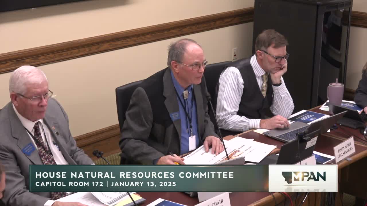
The House Natural Resources Committee heard a demonstration from the Legislative Fiscal Division on an interactive wildfire model that links historical fire perimeters, suppression costs and mitigation projects to help lawmakers evaluate fiscal exposure.
Amy Carlson, director of the Legislative Fiscal Division, introduced the tool and said staff built modular dashboards with live data connections so committee members can run scenarios and update figures in real time. "We create these using business intelligence software," Nick Van Brown, who led the technical overview, said, describing a modular "Mara"-centered design that includes modules for property, schools, higher education and wildfires.
The presentation emphasized financial context and limitations of prediction. Alice Hecht, the LFD staffer who led the wildfire demonstration, said the office focused on the state'level fiscal threat rather than trying to predict ignition events more than a few months out. "An ember can fly about a mile," Hecht said when describing how fire risk translates into risk for structures in nearby development.
Rob Miller (LFD) paired historic fire perimeters with cost data, telling the committee Montana has spent roughly $500 million on wildfire suppression over the last two decades, with the highest inflation-adjusted suppression year in 2017 and a five-year average (inflation-adjusted) of about $30 million per year. Miller reviewed the state's suppression-fund history: prior to 2008 suppression was covered by the general fund; a costly 2008 season prompted creation of a state fire suppression account, and later statutes (House Bill 354 and House Bill 883) added revenue mechanisms, a formula-driven cap (currently about $200 million), and increased forest action plan funding (the bill that became HB 883 raised the earlier $5 million per biennium allocation to $15 million per year).
On mitigation, Hecht said the model includes about 10 years of mitigation project records and that the datasets she used show roughly $80 million spent and about 680,000 acres treated in that window. She noted mitigation projects are often small and geographically targeted and therefore can be hard to see at statewide scale, but the tool can zoom to county or project level and layer mitigation with fire perimeters to enable historical comparisons.
The model uses a measurable WUI (wildland-urban interface) definition from USGS data; Hecht said Montana's WUI acreage has nearly doubled over the last 30 years, while the proportion of homes in WUI has remained similar under that dataset. The tool can also show residential risk by year built and average property value by risk class; Hecht showed county comparisons (Flathead and Gallatin examples) illustrating that higher-value homes often fall into medium-high risk categories.
Committee members pressed for more data on causes, climate correlations and insurance impacts. Vice Chair Oblander asked about the proportion of human-caused fires; Miller said national data indicate roughly half of fires may be human-caused and offered to provide specific Montana figures on request. Representative Kohanhauer asked whether mitigation completions could be mapped to help insurers distinguish mitigated from unmitigated properties; Hecht said the LFD can map mitigated addresses or program locations if the committee or agencies can provide a stable dataset linking mitigation actions to locations.
The LFD made the live tool available for committee review and encouraged members to provide questions to help tailor pages and filters. The committee was told that the tool is public on the fiscal division website and intended to inform upcoming fire-funding bills the House will consider in the next week.
Next steps: presenters offered to provide requested breakdowns (including cause-of-ignition statistics and more detailed mitigation data) and to work with agencies to incorporate additional datasets (BLM, local projects) where available.