Wetland-habitat staff explain buffers, predeterminations and higher mitigation for forestry conversions
Get AI-powered insights, summaries, and transcripts
Subscribe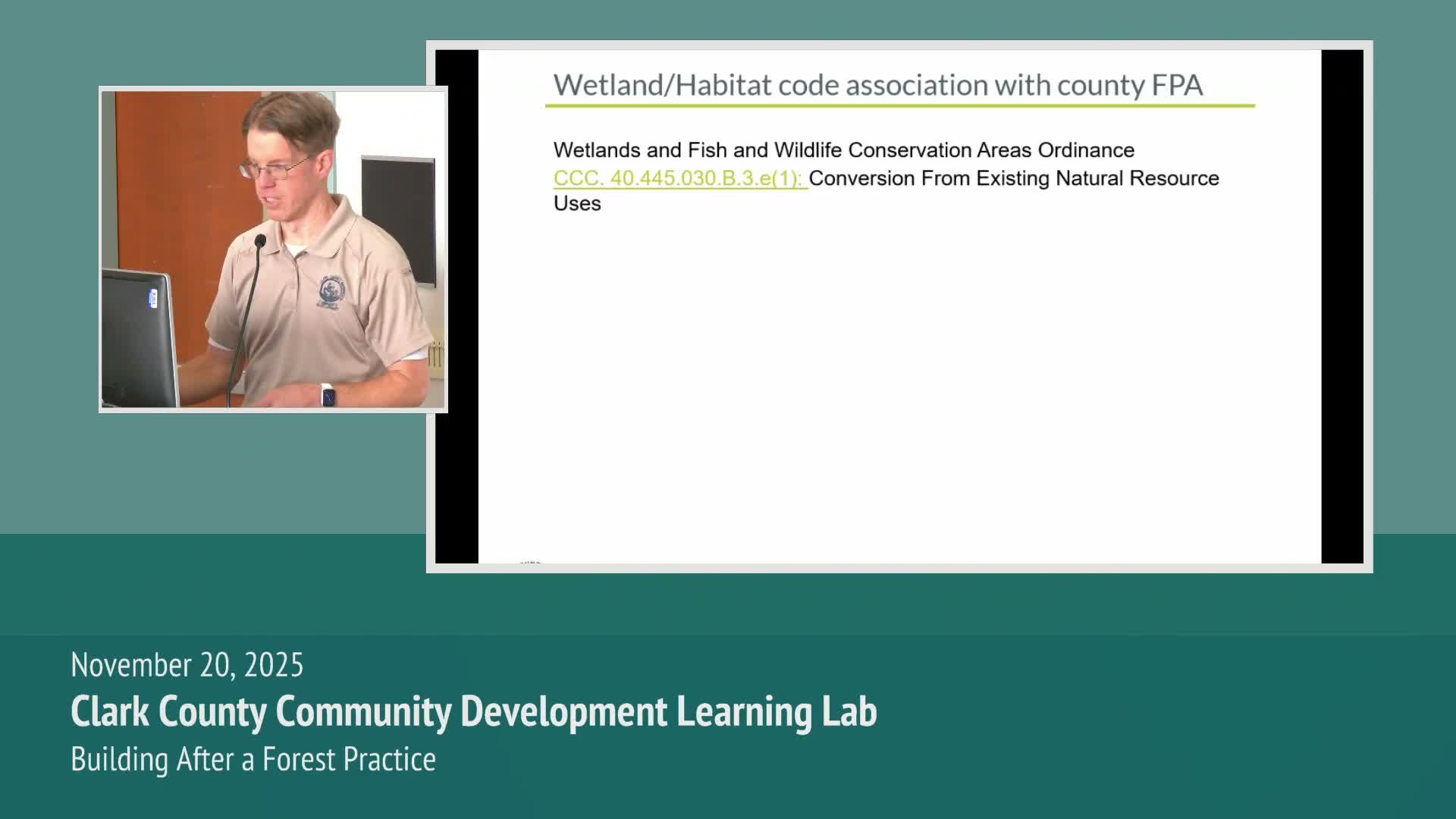
Summary
Clark County Wetland Habitat Review staff urged landowners to use maps-online and predeterminations to find unmapped wetlands, explained buffer and planting-density differences between state and county standards, and warned mitigation can exceed timber value for conversions in critical areas.
Lance White, a member of Clark County’s Wetland Habitat Review staff, told the November learning lab that county wetland and habitat standards play a central role when forest land is proposed for conversion. "For it to be a wetland, there are 3 primary components that we're looking for: hydric soils, a source of hydrology, and vegetation adapted to saturated conditions," White said as he described how wetland presence and buffers are determined.
White described the county’s review approach: an initial desk review using GIS, historic aerial imagery and past permits, followed by an on-the-ground predetermination if county staff suspect unmapped critical areas. He recommended completing predeterminations before applying for an FPA because those predeterminations produce a formal report and mapping that are binding on the county for five years and can be reused for multiple permits in that period.
On mitigation, White said county wetland-habitat staff determine the functions and values of critical areas at the time of conversion and may require restoration or compensatory mitigation for permanent forestry conversions. "These conditions will run with the land," he said, and added that county requirements can exceed state replanting standards. As an example, White contrasted the state's minimum of about 190 trees per acre with the county’s potential planting expectation of about 300 stems per acre within some critical areas, and said mitigation for public-hearing cases may be increased to at least twice the value of the timber harvested.
White noted that the county uses the U.S. Army Corps of Engineers’ wetland delineation manual and the State Department of Ecology wetland rating form as technical references, but cautioned that maps-online is not comprehensive and unmapped resources may exist on parcels. He encouraged property owners to use the county’s maps-online portal and offered wetland-habitat contact and guidance documents for applicants.
White also described how SEPA review for class 4 conversions can involve other state reviewers and might require formal wetland delineations or outside habitat assessments, and he flagged that development engineering will evaluate slopes and stormwater requirements where applicable.
He closed by explaining how wetland-habitat permit conditions, avoidance-and-minimization standards, and compensatory mitigation requirements fit into forestry permitting so landowners and their consultants can anticipate county conditions when planning conversions.