Get Full Government Meeting Transcripts, Videos, & Alerts Forever!
Get email alerts on the Kiel Subdivision Cemetery topic
No spam. Unsubscribe anytime.
Planning commission defers Kiel Subdivision after discovery of unnamed historic cemetery
Summary
The Mount Juliet Planning Commission accepted an applicant request to defer the Kiel Subdivision preliminary master plan after extended review raised unresolved questions about lot fit, cul‑de‑sac variances, sewer service and the presence of an unnamed historic cemetery; staff will coordinate field work with the State Historic Preservation Office.
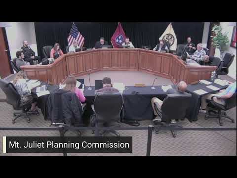
The Mount Juliet Municipal and Regional Planning Commission on Nov. 20 deferred consideration of the Kiel Subdivision preliminary master development plan after members and staff raised concerns about buildable lot sizes, long cul‑de‑sac lengths and an unnamed historic cemetery on the property.
Planning staff said the application covers about 10.32 acres at 115 Oakmont Drive and requests RS‑20 zoning with a pod overlay to create roughly 15 single‑family lots. Staff recommended forwarding the plan to the Board of Commissioners with conditions but flagged several technical issues, including lots affected by the FEMA floodplain, sewer availability and possible need for grinder pump systems rather than preferred gravity service.
Commissioners pressed the applicant and staff on lot fit and public‑space requirements, noting the proposal showed 0% improved recreational open space against the ordinance’s 7% baseline for residential pods. Public works and planning staff recommended trimming marginal lots or adding amenities.
Discussion turned to an unnamed cemetery inside the proposed subdivision. Planning staff said the site is listed in State Historical Commission records as “unnamed cemetery #17,” with no documented family contact. Staff described state guidance that generally prohibits disturbing graves and requires a 10‑foot legal buffer from known graves (the historical commission recommends a 30‑foot precautionary buffer when graves may be unmarked). Staff said they would pursue additional field investigation, including potential LIDAR scanning, and would coordinate with the Tennessee Historical Commission and the State Historic Preservation Office to identify gravesites and recommended protections.
Several commissioners said cemetery protections and documentation were material to any recommendation and urged the applicant and staff to work closely with the historical commission and to provide parking and a low‑maintenance fence to protect the site if graves are confirmed. One commissioner recalled previous local projects where lidar and other outreach identified unmarked burials.
Applicant representatives asked for more time to pursue the research and to respond to commission concerns. The applicant requested an indefinite deferral (the applicant later said 30 days would be workable but left timing open to allow coordination). The commission accepted the deferral; staff said when the applicant is ready to return they will work with the applicant to set the next date and recommended the applicant meet with the historical commission and staff before resubmitting.
Next steps: the developer will work with city staff and the state historical office to map the cemetery and provide the commission with updated lot layouts, sewer options and proposed open‑space adjustments before the commission takes further action.