Get Full Government Meeting Transcripts, Videos, & Alerts Forever!
Get email alerts on the Wildfire Maps topic
No spam. Unsubscribe anytime.
San Juan Capistrano council delays certification of CAL FIRE hazard maps after questions about boundaries and next steps
Summary
After a staff presentation showing the cityvery-high wildfire hazard acreage rose from 401 acres (2011) to 2,636 acres (2025), the council voted to continue action to July 15 while staff seeks clarifications from CAL FIRE on map anomalies and the ability to request targeted upgrades.
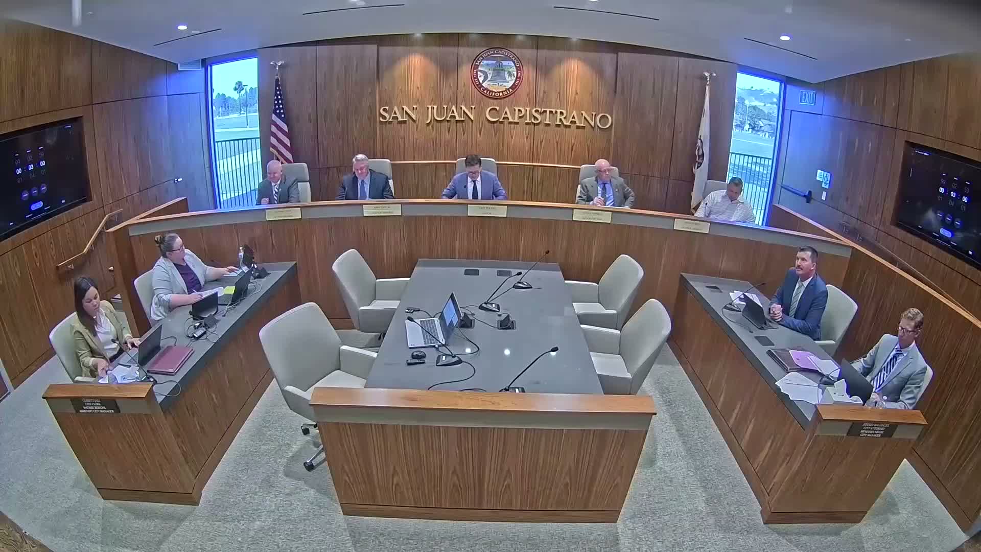
San Juan Capistrano The City Council on June 17 delayed formal adoption of updated CAL FIRE local responsibility area fire hazard severity zone maps after raising questions about apparent boundary anomalies and how the maps translate into local requirements.
Paul Garcia, a principal analyst in the city managers office, told the council that CAL FIREs 2025 map increases the citys very-high fire-hazard designation from 401 acres in 2011 to 2,636 acres and adds 2,658 acres identified as high and 727 acres as moderate. "These maps evaluate hazard and not risk, and that's an important distinction," Garcia said, explaining the statewide modeling factors: fuel and vegetation cover, localized fire weather, proximity to wildland and topography.
The distinction matters for property owners: Garcia said building-code requirements tied to very-high and high zones (California Building Code Chapter 7A and related residential code provisions) will apply to new construction and substantial remodels and that disclosure obligations for real estate transactions in high and very-high zones will take effect January 1, 2026.
Several council members said parts of the map look inconsistent with local topography and past fire experience. "I've watched it burn before," Mayor Bourne said of a northeast corner of the city the council questioned; "it's made up almost entirely of tall natural grasses...and that's white. That's fascinating to me." Council members asked whether the city could seek to upgrade particular areas and whether approval now would foreclose later adjustments.
Anna Dickinson, from the city's Cultural Heritage Committee, told council members that differences in color can reflect whether fire responsibility is state or local and stressed that insurance companies base underwriting on risk models not CAL FIRE severity zones. "You could have a home that's in a red zone and actually have less expensive insurance than a home in a white," she said.
City staff said state law requires local agencies to adopt CAL FIREs maps within 120 days of release and to transmit the ordinance to the state within 30 days of enactment, but that local agencies may only increase (not decrease) the area of a CAL FIRE designation. Staff recommended adopting the maps but acknowledged the council's request for more information.
After discussion the council voted to continue the item to a date certain, July 15, 2025, while staff seeks clarification from CAL FIRE and provides additional analysis. The council will have at least one remaining meeting before the statutory deadline (staff stated July 24 as the last day to act).