Get Full Government Meeting Transcripts, Videos, & Alerts Forever!
Get email alerts on the Rezoning Infill Overlay topic
No spam. Unsubscribe anytime.
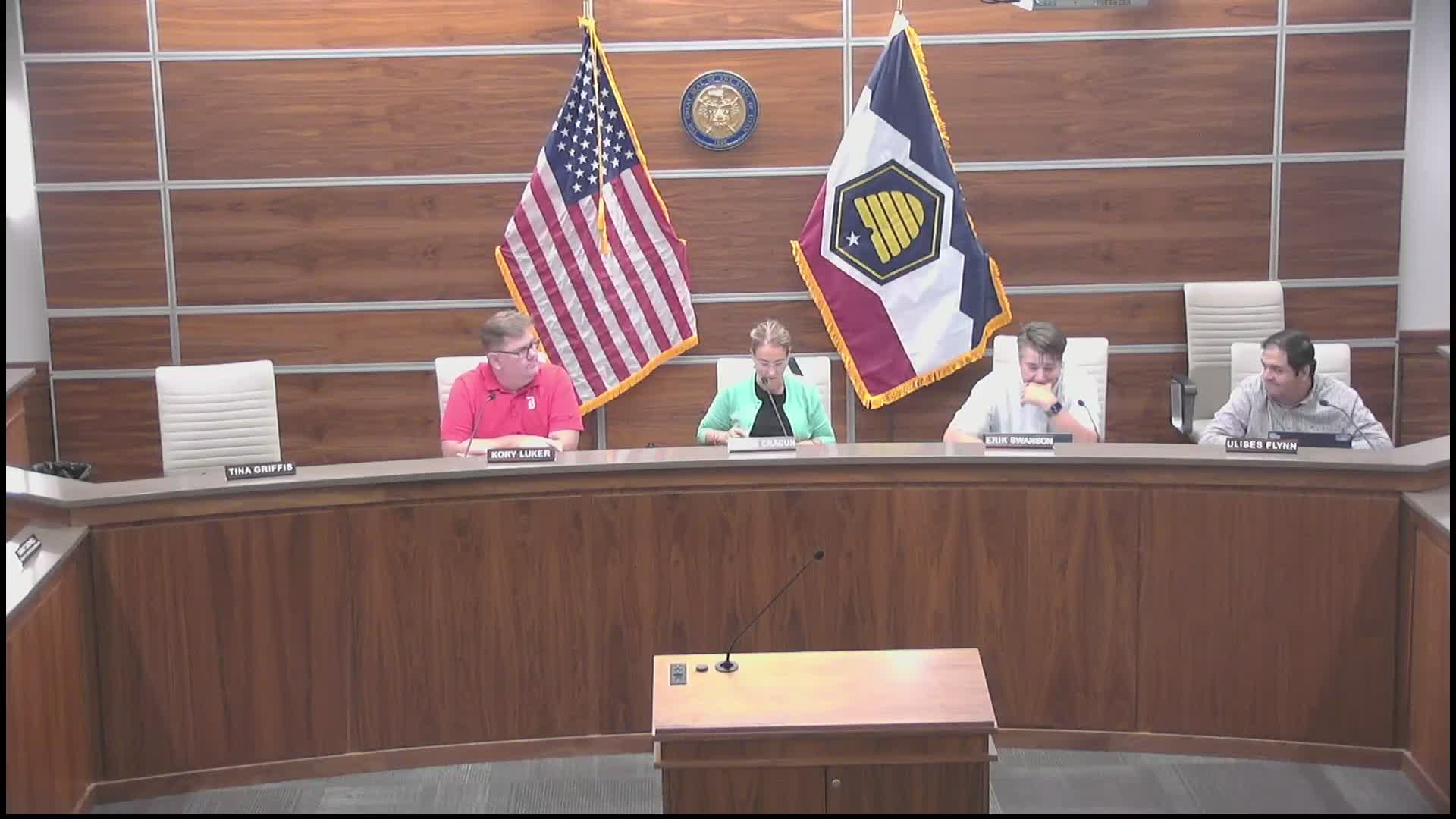
Commission continues controversial Loomis Parkway rezoning, requests detailed plan and survey
Summary
Planning Commission continued the proposed rezoning of 7.26 acres at 14147 S Loomis Parkway from R‑1‑43 to R‑1‑10 (infill overlay) after extensive public opposition and staff concerns; commissioners asked the applicant for a clearer, scaled concept plan, survey/legal description of a southern sliver, trail alignment/costs and alternatives for a north–south connection.
The Bluffdale Planning Commission continued public hearings on a proposed zoning map amendment that would change roughly 7.26 acres at 14147 South Loomis Parkway from R‑1‑43 to R‑1‑10 with an infill overlay, and directed the applicant to provide additional information before the commission will consider a recommendation to City Council.
Planning staff described the proposal as an infill overlay application that would allow smaller lots than the incumbent R‑1‑43 designation. Staff said the applicant's concept plan shows roughly 26 lots (about 3.6 dwelling units per acre if 26 lots are used) and proposes changes to standard R‑1‑10 requirements: a front setback of 20 feet rather than 30, a rear setback of 20 feet rather than 30, and 60% lot coverage rather than the R‑1‑10 standard of 40%. Staff emphasized that home attributes, design standards and trail costs should be negotiated in a two‑party development agreement rather than the ordinance.
Ellen Oakman, the staff presenter, told the commission there is uncertainty over a small southern "sliver" parcel shown in county records and stressed the need to confirm whether that parcel exists and how it affects a proposed northern connection to the existing subdivision street pattern. "If the sliver exists, then the road stub from the subdivision will not be able to step to the south," Oakman said, recommending that the sliver be researched and that concept and ordinance language be aligned before approving a rezone.
Applicant Quinn Millet, representing DR Horton, described the plan as conceptual and said the developer intends to build 10,000‑square‑foot lots similar to the neighboring Sage Estates Phase 3. Millet said the developer prefers not to provide a northern street connection because of neighborhood opposition and cost, but said the developer would consider the trail through the property and that impact‑fee reimbursement typically covers system improvements. On the southern sliver, Millet said preliminary title work suggests the sliver may not exist and that final survey work will clarify ownership.
The hearing drew strong public opposition. Staff read an emailed statement from Anna McCurdy that urged denial: "I am asking the planning committee please deny the zone change," McCurdy wrote, citing concerns about character, traffic, parking and infrastructure strain. Several residents who live adjacent to the site testified that smaller lots and higher lot coverage would erode neighborhood open space, reduce privacy and create traffic and safety problems for children. One resident said the current R‑1‑43 zoning would allow only about six or seven lots and expressed preference for larger lot development.
Commissioners asked staff for technical data (traffic capacity on Loomis Parkway, typical road cross‑sections, comparisons to other local infill overlays) and for clearer property surveys and scaled lot maps. Commissioners repeatedly said they lacked the information necessary to evaluate compatibility—lot sizes on the concept map varied down to about 8,600 square feet in the drawing—and requested a plan showing actual 10,000‑square‑foot lots and scaled dimensions.
After discussion, the commission unanimously moved to continue the item to the next Planning Commission meeting and directed the applicant to provide: a verified legal description and survey clarifying the southern sliver; a revised, scaled concept plan demonstrating true 10,000‑sq‑ft lots (and how many lots result); clear north–south road connection options (and the developer’s position on each); a trail alignment and cost estimate; revised setback and lot‑coverage scenarios; and answers on ADU potential and parking impacts. The public hearing was closed for the continuation, but commissioners asked staff to accept new materials and to alert neighbors through standard channels.
What happens next: the application will return after the applicant submits the requested materials. The commission noted the next Planning Commission meeting is scheduled for October 1 and encouraged neighborhood outreach from the applicant prior to the continued hearing.