Get Full Government Meeting Transcripts, Videos, & Alerts Forever!
Get email alerts on the Transportation Highway5 topic
No spam. Unsubscribe anytime.
Maplewood Council tables MnDOT Highway 5 municipal consent after residents raise tree and privacy concerns
Summary
After MnDOT described a four-to-three lane conversion and an east-side trail on Trunk Highway 5 (Stillwater Road), residents near Stillwater Road objected to possible removal of large Amur maples and loss of privacy; the council voted to table municipal consent and asked MnDOT for design options to preserve trees.
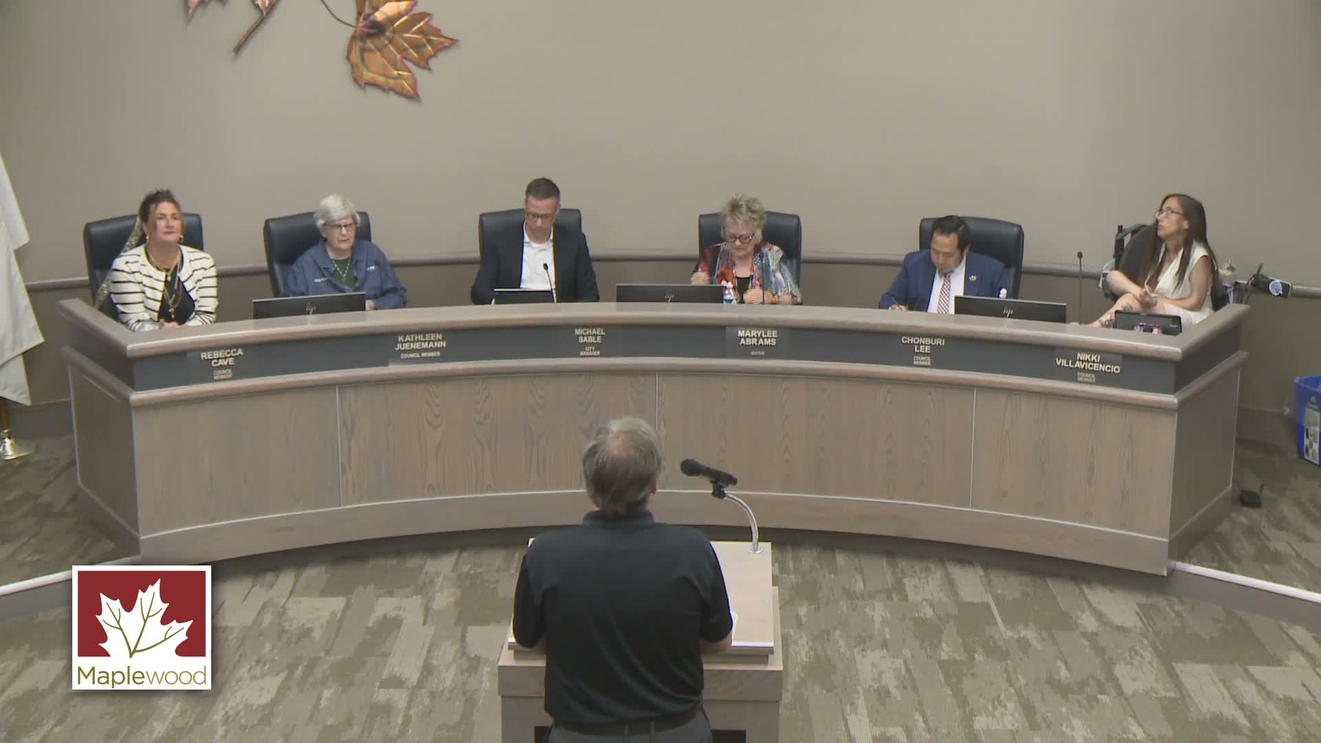
Mayor Abrams opened a public hearing May 12 on Minnesota Department of Transportation plans to reconfigure Trunk Highway 5 (Stillwater Road) between McKnight Road and Lakewood Drive and to build an east-side trail.
Michael Corbett, MnDOT North Area Engineer, said the project would convert an existing four-lane segment to three lanes (one travel lane each way and a two-way left-turn lane), replace signals, add a trail and make ADA upgrades to pedestrian crossings to reduce a crash rate MnDOT described as “above normal.” He told the council the construction window runs into 2026 and that the project is part of a safety-focused approach to calm traffic and reduce rear-end and left-turn crashes.
The hearing drew two residents from the same corner lot who objected strongly to the trail alignment and the potential removal of trees. James Burke (2310 Stillwater Road) said he and his wife planted dozens of Amur maples decades ago to provide privacy and that a 10-foot trail adjacent to their yard would “put people right in our front yard.” Burke also described multiple crash and property‑damage incidents at the corner and warned that a three‑lane cross‑section could increase congestion when buses stop.
Elizabeth Jacobson, who identified herself as Burke’s wife, told the council the MnDOT presentation did not reflect how traffic and pedestrian flows operate on that stretch and said the plan would require cutting what she called “landmark” trees. “You will ruin our lives,” Jacobson said, urging the city to reconsider placement of the trail.
Council members pressed MnDOT on two questions: why the trail is proposed on the east side when a long recreational path already exists on the west side, and whether the plan could be redesigned to protect private trees. Corbett said the east-side trail responds to demand from residents who rely on walking, transit and personal mobility devices and that technical analyses (turning templates, signal upgrades, medians and ADA treatments) show the design can work. He also said current construction plans indicate “two trees that could be within our construction limits” may be removed but that a forester would evaluate whether trees could be protected or would need replacement.
City staff and the city attorney urged the council to obtain a definitive response from MnDOT about tree protection and narrower trail options before taking action. MnDOT and city staff identified several potential design alternatives, including moving the trail to the back of curb for short sections or reducing the trail width from 10 feet to 8 feet where space is constrained.
Given the outstanding questions and the residents’ concerns, the council moved to table the municipal-consent resolution until MnDOT can provide a definitive answer on creative, satisfactory design changes and on measures to avoid or mitigate impacts to private trees. The motion to table (moved by Mayor Abrams and seconded by Council Member Juneman) carried on a voice vote. Council staff were asked to coordinate directly with James Burke and Elizabeth Jacobson while MnDOT reviews design options.
The council’s action postpones a municipal-consent decision; MnDOT told the council letting is currently scheduled around May 20, 2026, so there is time for the agency to return with revised plans or clarifications.