Get Full Government Meeting Transcripts, Videos, & Alerts Forever!
Get email alerts on the Redistricting topic
No spam. Unsubscribe anytime.
Police Commission weighs neighborhood line changes as controller offers data options
Summary
The Controller's Office presented seven draft redistricting options for police district boundaries after 90 days of public input, prompting commissioners and the chief to ask for narrowed requests so consultants can run call-for-service and population analyses ahead of an April review and an April 15 vote.
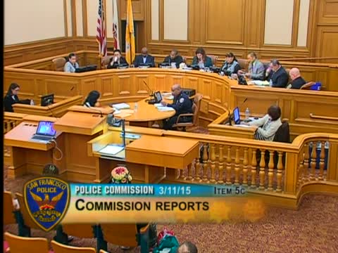
The Police Commission spent much of its March 11 meeting reviewing potential changes to police district boundaries drawn from a 90-day public engagement process and a consultant's data-driven mapping effort.
Randy McClure, project manager in the Controller's Office, said staff distilled public feedback into seven options and urged the Commission to narrow its list of specific line changes before the consultant reruns call, incident and population data. "Keeping in mind that every individual line change on its own in a vacuum is not difficult to make, but once you start making multiple line changes in unison around the city, it gets increasingly complex," McClure said.
Why it matters: proposed shifts could move responsibility for high-demand commercial nodes and public spaces (for example, parts of the Tenderloin, the Westfield shopping area, and bordering blocks near Potrero Hill) between stations, affecting workload parity, response times and which captains oversee enforcement and outreach.
Contested areas and community input - Tenderloin: community meetings sought adjustments along Larkin, Polk and Geary; one common request was to align both sides of Geary within the Tenderloin district or shift western Tenderloin lines to Van Ness to reduce border-driven enforcement problems.
- Westfield Mall / Market Street: community participants urged the Commission not to place Westfield within the Tenderloin district; Central and Southern station stakeholders have different views on where the commercial stretch would best align for retail theft and resource allocation.
- Potrero / Mariposa corner: some Potrero Hill commenters asked that a small block bounded by Highway 101, Potrero Avenue and 16th/18th streets be considered part of Bayview for policing continuity.
Process and next steps Controller's staff said the dataset used for analysis includes five years of calls for service and incident data, 2010 census population, ten-year housing projections and land area; they urged commissioners to submit refined requests for the consultant to analyze. Commissioners set an April 8 hearing for the consultant's analysis and planned to vote on final lines on April 15, with a 30-to-45-day implementation window once approved.
Ending Commissioners stressed outreach to affected stations (particularly Central) so stakeholders there can respond to proposed changes. The Commission will return with consultant-run data and narrowed map options at the April meeting.