Get Full Government Meeting Transcripts, Videos, & Alerts Forever!
Get email alerts on the Climate Adaptation topic
No spam. Unsubscribe anytime.
PUC outlines climate‑vulnerability work, flags sea‑level risk to 29 Bay‑side sewer structures
Summary
Staff described ongoing vulnerability assessments, downscaling of climate models, pilots for water supply and urban drainage, and identified Bay‑side sewer structures that will need protection from rising tides; staff estimated an initial adaptation package for Bay‑side discharge structures at roughly $18–20 million.
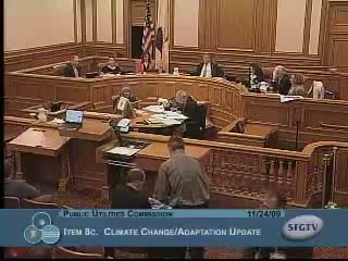
David Behar, the PUC climate lead, briefed the commission on a growing program of vulnerability assessments that stitch together global climate models, watershed hydrologic modeling and system‑operations models to estimate how climate change could affect water supply, storm intensity and coastal infrastructure.
Behar summarized national and utility‑scale work — including collaboration through the Water Utility Climate Alliance (WUCA) and a recent Aspen‑hosted workshop — aimed at producing climate services that are useful for utility planning. He explained the “chain of models” approach: global climate projections are downscaled and fed into watershed models to generate runoff and intensity‑duration‑frequency parameters, which in turn inform system operations and infrastructure planning.
On wastewater, staff highlighted that 29 Bay‑side sewer discharge structures already experience increasing saline incursions and will be at greater risk as sea level rises. Behar said staff are working on practical adaptation measures for these locations and estimated a preliminary budget envelope of roughly $18–$20 million to begin protective measures at the most vulnerable sites; he emphasized that the work is budgeted conceptually but not yet funded. The presentation also referenced recent science that expands higher‑end sea‑level projections — staff used a planning frame that includes scenarios up to 55 inches by 2100 to test vulnerabilities.
Commissioners and public commenters urged urgency: some said scientific findings are accelerating and recommended that adaptation actions such as wetland restoration, setback/retreat strategies and resilience requirements for new developments be elevated in planning and project selection. Staff said much of the adaptation work is iterative and will be tied into the master plan and capital decision process, and that pilot projects (water‑supply hydrologic work and urban drainage intensity analyses) are under way to provide practical inputs for design decisions.
The commission did not adopt new adaptation policy at the meeting, but directed staff to continue vulnerability assessments and to integrate adaptation options and costs into forthcoming master‑plan metrics and capital program proposals.