Get Full Government Meeting Transcripts, Videos, & Alerts Forever!
Get email alerts on the Landmark Program Report topic
No spam. Unsubscribe anytime.
Staff proposes consolidated six‑month preservation report and a displacement risk map overlay
Summary
Planning Department staff outlined a consolidated six‑month landmark designation and cultural heritage work program report with metric infographics and proposed overlaying a Bay Area displacement risk map to guide preservation priorities and equity analysis.
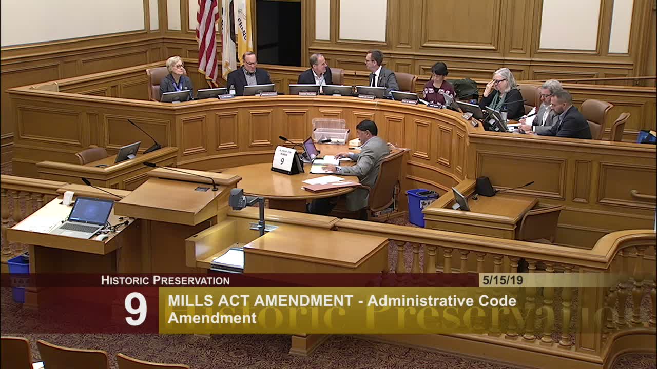
At the May 15, 2019 Historic Preservation Commission hearing, Planning Department staff presented a quarterly update on the landmark designation and cultural heritage work program and proposed consolidating several preservation reports into one six‑month document with metric‑focused infographics and racial and social equity overlays.
Michelle Taylor said staff intends the consolidated report to combine the Landmark Designation Work Program, Cultural Heritage District updates, the Citywide Cultural Resources Survey, the Legacy Business Registry report, and related programs into a single, easy‑to‑read document presented twice yearly. Staff proposed including charts and maps that would show the distribution of permits, landmarks, and other activities, and suggested adding a “risk map” overlay—derived from the Urban Displacement Project data and adapted by the Mayor’s Office of Housing and Community Development (MOHCD)—to identify neighborhoods experiencing higher gentrification or displacement pressure.
Shelly (preservation staff) described potential uses of the displacement overlay: comparing risk levels with areas where the city is already doing survey or designation work to help prioritize neighborhoods with high risk and low protection. Commissioners asked for additional detail about the risk map’s origin, intended use, and whether other hazard overlays (for example seismic or sea level rise) could be combined; staff said those additions are possible and agreed to return with more detail.
Commissioners generally welcomed the consolidated reporting approach, asked for more frequent updates on specific items (citywide survey and legacy business registry), and recommended staff return with refined map documentation and prioritization proposals.
Next steps: staff will develop the six‑month consolidated report format, refine the displacement/risk map overlay approach and return with more detail at a future hearing.