Get Full Government Meeting Transcripts, Videos, & Alerts Forever!
Get email alerts on the 30 Otis Eir topic
No spam. Unsubscribe anytime.
Commission backs detailed historic documentation and mitigation requests for 30 Otis Street draft EIR
Summary
Planning staff presented the draft EIR for 30 Otis Street, which would demolish five buildings including a 1920s structure that the draft EIR finds eligible for the California Register; commissioners recommended HABS-like documentation, a cultural landscape focus and more specific mitigation language and asked staff to draft a letter with those recommendations.
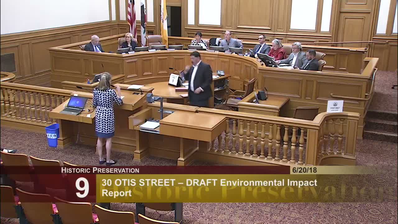
Planning Department staff presented the draft environmental impact report (EIR) for the proposed 30 Otis Street redevelopment and asked the Historic Preservation Commission for comments to forward to the Planning Commission. The draft EIR describes a project that would merge five lots, demolish existing buildings and construct a large residential building with ground-floor retail and new space for the city ballet school.
Staff’s analysis found that one building on the site (14–18 Otis Street, circa 1925) is individually eligible for the California Register of Historical Places at the local level for its architecture and that demolition would constitute a substantial adverse change resulting in a project-level significant and unavoidable impact under CEQA. The draft EIR identifies mitigation measures including HABS (Historic American Buildings Survey) documentation, a permanent interpretive display and vibration monitoring for adjacent resources. The draft EIR also analyzes a full preservation and partial preservation alternative, and staff noted that relocation of the resource was considered and rejected on structural grounds.
Commissioners concentrated their comments on the adequacy of documentation and mitigation for the building’s setting and cultural-historic context. Several commissioners recommended that the commission ask for "house-like" or HABS/HAER/HALS-style documentation that includes historic maps, photographs and a short history to better convey the site’s role in the industrial hub and the southern extension of Van Ness. One commissioner suggested adding a Historic American Landscape Survey component to document the setting and the grid relationship. Staff and preservation planners agreed these elements could be incorporated as more detailed documentation and encouraged commissioners to place such requests in the record. The commission directed staff to draft a letter stating concurrence with the draft EIR’s findings and requesting additional specificity in mitigation and documentation; staff noted the public review deadline for comments and the schedule for responses in the final EIR.
No public speakers addressed this item at the hearing. The commission’s comments will be forwarded to the Planning Commission and included in the administrative record for the EIR process.