Get Full Government Meeting Transcripts, Videos, & Alerts Forever!
Get email alerts on the Sea Level Rise Resilience topic
No spam. Unsubscribe anytime.
San Francisco staff present multi-hazard resilience plan and sea level rise assessment, outline next steps
Summary
City staff presented a multi-agency Hazard & Climate Resilience Plan and a Sea Level Rise Vulnerability & Consequences Assessment that identify 13 hazards, 97 strategies and show up to 108 inches of sea level rise scenarios affecting roughly 6% of the city; officials flagged the need for coordinated funding, further modeling and phased adaptation.
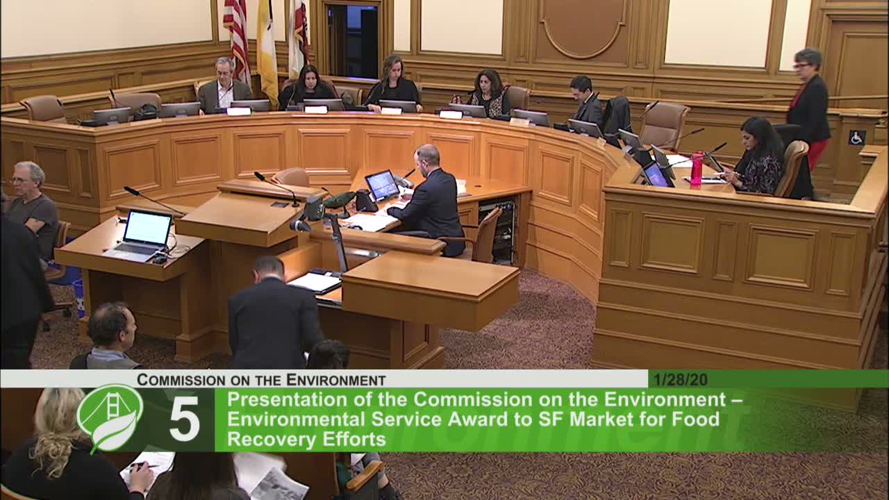
City officials presented the final Hazard & Climate Resilience Plan and a Sea Level Rise Vulnerability & Consequences Assessment to the San Francisco Commission on the Environment on Jan. 28, 2020, describing both as the multi-agency foundation for adapting the city to current and future climate hazards.
Brian Strong, chief resilience officer, said the plan replaces the city's prior FEMA hazard mitigation plan and must be renewed every five years for the city to remain eligible for FEMA hazard-mitigation funding. He said the update expands the analysis to address climate-driven hazards and integrates a broader set of assets, including people, into the city's resilience inventory.
Elizabeth Felter, a hazard and climate resilience analyst with the department, and planning staff explained the plan's structure: staff identified 13 hazards and developed vulnerability and consequence profiles for each; they distilled roughly 97 strategies that the city will pursue in three categories: resilient people and communities, resilient buildings and resilient infrastructure. The department is the lead for five strategies covering building weatherization, building electrification, biodiversity and natural infrastructure, household hazardous waste, and hazardous materials in schools.
The accompanying sea level rise assessment mapped exposure under an extreme scenario (cited as 108 inches through the end of the century, including storm surge and king-tide stacking) and described the potential consequences: staff said the scenario could affect an estimated tens of thousands of residents, hundreds of thousands of jobs, and hundreds of acres of parks, with particularly acute impacts in eastern and southeastern neighborhoods.
Adam Peratt and Adam Barrett (both introduced in the presentation) described the methodology: staff used established sea-level-rise guidance and a range of scientific scenarios, assigned vulnerability ratings to publicly owned assets (utilities, transportation, public-safety facilities, parks and port infrastructure), and then estimated neighborhood-level consequences when multiple infrastructure types are affected simultaneously. The presenters noted the assessment focused on coastal inundation and did not yet fully integrate overland (storm) flooding, rising groundwater or liquefaction interactions.
Commissioners pressed staff on next steps: officials said the city is coordinating with the Port of San Francisco and the U.S. Army Corps of Engineers on a regional flood-protection study, exploring financing options that include federal and state grants, community facility districts/Mello-Roos and bonds, and looking to district-scale projects such as the Islais Creek adaptation effort.
Staff emphasized the plan is an assessment and implementation will require phased actions, capital investments and continued interagency coordination. They also recommended further studies to integrate overland flooding, groundwater rise and contamination risks before prioritizing specific defenses for neighborhoods and critical infrastructure.
The commission did not take a formal vote on the plan at the meeting; staff said the plan had been submitted to FEMA and that a public engagement and implementation phase would follow.