Get Full Government Meeting Transcripts, Videos, & Alerts Forever!
Mayor's Office on Disability presents GIS mapping of vulnerable populations and buildings
Summary
The Mayor's Office on Disability and DEM presented GIS maps showing convergence of vulnerable soils, soft‑story buildings and populations (including ~21,000 in-home support beneficiaries), highlighting clusters in Tenderloin, Chinatown, North Beach, SOMA and Mission and urging policy and operational uses.
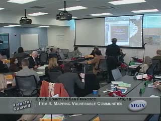
Carla Johnson of the Mayor's Office on Disability presented 'Vulnerable Population Planning' to the Disaster Council, showing layered GIS maps that combine geotechnical hazards, building vulnerabilities and demographic data to identify areas of concentrated disaster risk.
Johnson described three vulnerability categories the project analyzes: "vulnerable soils" (liquefaction, tsunami and landslide zones), "vulnerable buildings" (soft‑story construction, single‑room‑occupancy hotels and Housing Authority properties) and "vulnerable people" (seniors and people with disabilities living in…
Already have an account? Log in
Subscribe to keep reading
Unlock the rest of this article — and every article on Citizen Portal.
- Unlimited articles
- AI-powered breakdowns of topics, speakers, decisions, and budgets
- Instant alerts when your location has a new meeting
- Follow topics and more locations
- 1,000 AI Insights / month, plus AI Chat