Get Full Government Meeting Transcripts, Videos, & Alerts Forever!
Get email alerts on the Building Code topic
No spam. Unsubscribe anytime.
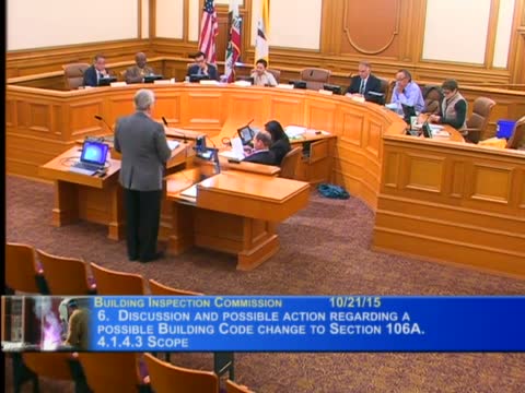
Commission votes to remove 1974 Bloom map from San Francisco slope‑protection scoping
Summary
The commission approved a proposed amendment to San Francisco Building Code section 106A.4.1.4.3 to delete the URS/John A. Bloom (1974) map from slope protection scoping, narrowing coverage to more recent state seismic/landslide maps; the motion carried unanimously.
The Building Inspection Commission voted unanimously to recommend a code change that deletes the 1974 URS/John A. Bloom map from the list of scoping maps used to apply the city’s slope protection provisions.
Kirk Means of DBI’s technical services division explained the Bloom map was prepared in 1974 and has not been revised; state maps (the California Department of Conservation seismic‑hazard maps updated in 2000 and later) now provide narrower, more current hazard scoping. Means read passages from the Bloom report noting its original authors recommended the maps be revised as new data became available, and staff said that removing the older Bloom map will narrow the set of properties that trigger the slope‑protection administrative requirements.
The commission had no public comment on the item, moved and seconded the recommendation, and recorded a unanimous roll call in favor.