Get Full Government Meeting Transcripts, Videos, & Alerts Forever!
Planning staff outlines sea level rise vulnerability assessment, calls for regional coordination
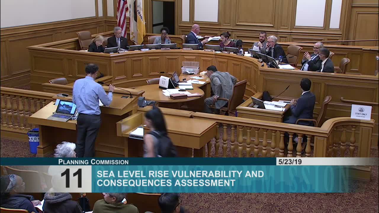
Summary
Planning staff presented the city's sea level rise vulnerability and consequences assessment, which maps exposure under scenarios up to an 108‑inch upper range (including surge), highlights risks to transit, ports and shoreline parks, and calls for district‑scale adaptation and regional coordination.
The Planning Department outlined on May 23 a citywide sea level rise vulnerability and consequences assessment that forms an early step in San Francisco’s climate adaptation work.
Adam Barrett (citywide planning) presented maps and scenarios (including an upper envelope that adds an estimated 42 inches for storm surge and high tides to scientific projections) and explained the methodology for assessing exposure, sensitivity and consequences. Staff reviewed results for neighborhoods along the bay —…
Already have an account? Log in
Subscribe to keep reading
Unlock the rest of this article — and every article on Citizen Portal.
- Unlimited articles
- AI-powered breakdowns of topics, speakers, decisions, and budgets
- Instant alerts when your location has a new meeting
- Follow topics and more locations
- 1,000 AI Insights / month, plus AI Chat