Get Full Government Meeting Transcripts, Videos, & Alerts Forever!
Get email alerts on the Climate Resilience topic
No spam. Unsubscribe anytime.
Planning staff outlines sea level rise vulnerability assessment, calls for regional coordination
Summary
Planning staff presented the city's sea level rise vulnerability and consequences assessment, which maps exposure under scenarios up to an 108‑inch upper range (including surge), highlights risks to transit, ports and shoreline parks, and calls for district‑scale adaptation and regional coordination.
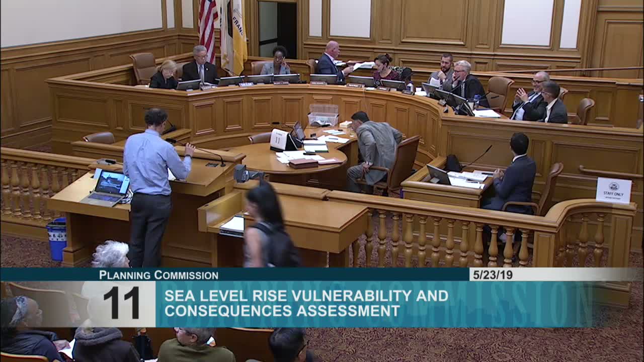
The Planning Department outlined on May 23 a citywide sea level rise vulnerability and consequences assessment that forms an early step in San Francisco’s climate adaptation work.
Adam Barrett (citywide planning) presented maps and scenarios (including an upper envelope that adds an estimated 42 inches for storm surge and high tides to scientific projections) and explained the methodology for assessing exposure, sensitivity and consequences. Staff reviewed results for neighborhoods along the bay — Fisherman’s Wharf, the Financial District, Mission Bay, Mission Creek, Islais Creek and Ocean Beach — and emphasized risks to transportation networks (BART, Muni, Caltrain), port and waterfront facilities, and open spaces.
Key technical points included the interaction of coastal flooding with inland drainage (combined rain‑driven and coastal flooding), rising groundwater as sea levels increase (a concern for contamination and liquefaction), and cascading impacts where loss of one asset can affect system‑wide operations (for example, flooding at a Muni or BART portal affecting transit operations). Staff also described ongoing studies and projects including the Port’s seawall work, an Army Corps flood study for port shoreline solutions, a grant‑funded adaptation study at Islais Creek, and the Ocean Beach long‑term improvements project.
Commissioners stressed urgency and communication framing, asking staff to consider stronger language to reflect the scale of the hazard; the presentation prompted questions on alignment with Army Corps/FEMA projections and opportunities to learn from other cities. Staff noted more recent state guidance and that the assessment uses a suite of scenarios to be robust to future scientific updates.
What happens next: the assessment is an informational step; staff will move toward district‑level adaptation planning and integrate findings into capital planning guidance and the hazard and climate resilience plan, with further outreach and multidisciplinary coordination.