Get Full Government Meeting Transcripts, Videos, & Alerts Forever!
Get email alerts on the Sea Level Rise Guidance topic
No spam. Unsubscribe anytime.
City adopts guidance for sea-level-rise adaptation in capital planning; checklist required for large capital projects
Summary
The Capital Planning Committee's guidance, presented to the Planning Commission, asks agencies to use National Research Council projections and SFPUC maps to assess vulnerability; departments must submit checklists for capital projects over $5 million in the sea-level-rise vulnerability zone.
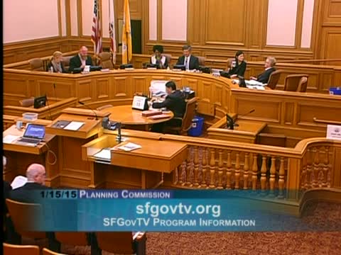
City planning staff and capital agencies presented a new guidance document on Jan. 15 directing how sea‑level‑rise adaptation should be incorporated into the city’s capital planning process.
Chris Curran and Tanya Schaner of the Planning Department’s Environmental Planning Division said the guidance, developed under the SF ADAPT effort and adopted by the Capital Planning Committee, draws on the National Research Council’s 2012 report and SFPUC mapping. The guidance asks agencies to select appropriate sea‑level‑rise scenarios for projects, perform a vulnerability assessment (exposure, sensitivity, and adaptive capacity), and then prioritize adaptation strategies based on risk and consequence.
Schaner summarized commonly used projections the guidance relies on (most‑likely projections): about 6 inches by 2030, about 11 inches by 2050 and roughly 36 inches by 2100, and explained that the guidance focuses on coastal flood hazards (tide plus storm surge) rather than precipitation/runoff. The guidance includes a checklist to be completed by capital departments for each capital project over $5,000,000 that lies in the year‑2100 sea‑level‑rise vulnerability zone; checklists are due to the Capital Planning Committee and the city engineer by the end of the month.
Presenters emphasized the guidance is a framework for coordinated assessment and does not prescribe specific structural responses; adaptation strategies will vary by asset sensitivity (for example, parks versus fire stations) and by life span. Commissioners and public commenters asked for clarity on filled lands, earthquake‑related liquefaction versus sea‑level inundation, and the role of partner agencies (SFPUC, BCDC, OCII). Staff noted coordination has included BCDC, the Coastal Commission and other state and federal coastal experts and that SFPUC flood maps were used to illustrate scenarios.
No formal action was required; commissioners urged continued interagency collaboration and public outreach as the city moves from guidance to project‑level adaptation planning.