Get Full Government Meeting Transcripts, Videos, & Alerts Forever!
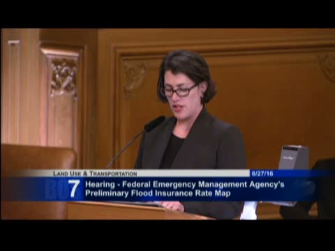
FEMA presents preliminary flood insurance rate maps; committee reminded of Aug. 1 appeals deadline
Summary
FEMA Region IX staff briefed the committee on preliminary Flood Insurance Rate Map panels for San Francisco, noted they include airport, piers, Mission Bay, Hunters Point, Candlestick Point and Treasure Island, and said the 90‑day appeal period ends Aug. 1; maps could be effective after final determination and 6‑month lead time.
FEMA Region IX officials told the Land Use and Transportation Committee that preliminary Flood Insurance Rate Map (FIRM) panels for San Francisco have been issued as part of combined coastal and bay mapping projects and that the opening of the 90‑day public appeal period requires stakeholders to submit technical appeals by the deadline.
Edward Curtis, senior engineer for FEMA Region 9, explained the combined mapping covers the open coast and bay shoreline and that preliminary panels were issued with a standard 90‑day appeals window. "We…
Already have an account? Log in
Subscribe to keep reading
Unlock the rest of this article — and every article on Citizen Portal.
- Unlimited articles
- AI-powered breakdowns of topics, speakers, decisions, and budgets
- Instant alerts when your location has a new meeting
- Follow topics and more locations
- 1,000 AI Insights / month, plus AI Chat