Get Full Government Meeting Transcripts, Videos, & Alerts Forever!
‘Easy Routes’ mapping project moves toward live routes, signage and printed maps
VPAC · December 9, 2024
AI-Generated Content: All content on this page was generated by AI to highlight key points from the meeting. For complete details and context, we recommend watching the full video. so we can fix them.
Summary
Staff presented the 'Easy Routes' low‑stress bicycle mapping effort using Ride with GPS and community testing; plans include adding more routes, testing directionality and producing signage and a printed map for public use.
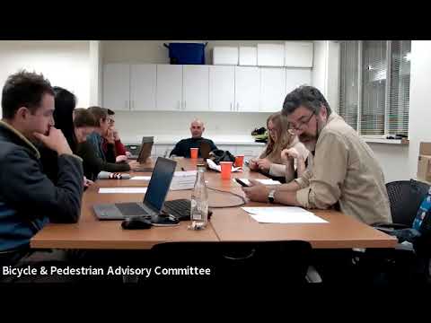
Charlottesville staff and volunteers advanced plans for the Easy Routes project, a mapping initiative that aims to show low‑stress, navigable cycling routes across the city.
Tommy Sipranek (project lead) described how staff used Ride with GPS to assemble candidate routes, conduct group rides and collect feedback. “These routes will show riders how to get…
Already have an account? Log in
Subscribe to keep reading
Unlock the rest of this article — and every article on Citizen Portal.
- Unlimited articles
- AI-powered breakdowns of topics, speakers, decisions, and budgets
- Instant alerts when your location has a new meeting
- Follow topics and more locations
- 1,000 AI Insights / month, plus AI Chat
30-day money-back on paid plans