Get Full Government Meeting Transcripts, Videos, & Alerts Forever!
Committee hears urban heat presentation; staff outlines mapping, tree canopy targets and pilot ideas
Summary
Alex presented thermal imagery and mapping plans showing heat hotspots near Farmers Branch, described LIDAR tree-canopy mapping and citizen-science sensor runs, and discussed potential pilots (cool pavement, targeted tree planting) to reduce urban temperatures.
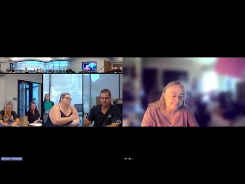
The Farmers Branch Sustainability Committee received a detailed presentation on urban heat islands and mitigation strategies, led by Alex (presenter, staff), who showed satellite and thermal imagery and described tools the city may use to target tree plantings and pilot cooling projects.
Alex showed NASA Jet Propulsion Laboratory satellite morning-temperature imagery for the DFW area and thermal images demonstrating surface-temperature differences between light- and dark-colored surfaces.…
Already have an account? Log in
Subscribe to keep reading
Unlock the rest of this article — and every article on Citizen Portal.
- Unlimited articles
- AI-powered breakdowns of topics, speakers, decisions, and budgets
- Instant alerts when your location has a new meeting
- Follow topics and more locations
- 1,000 AI Insights / month, plus AI Chat