Get Full Government Meeting Transcripts, Videos, & Alerts Forever!
Get email alerts on the Land Use topic
No spam. Unsubscribe anytime.
Town of Concord subcommittee frames three-step plan for MCI/Junction Village site
Summary
Members agreed the subcommittee will: 1) capture community input, 2) use that input in a visioning and scenario analysis phase, and 3) translate a preferred scenario into zoning and development specifications; they also requested GIS analysis, visualization tools, and budgeted fiscal-impact studies.
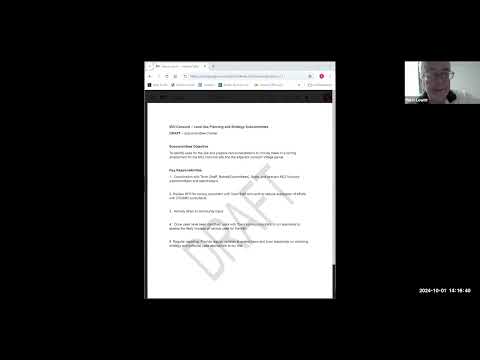
Members of a Town of Concord subcommittee meeting reviewed a draft charter and agreed on a three-step approach to recommending land uses for the MCI site and adjacent Junction Village parcel: capture community input, use that input for visioning and scenario analysis, and convert a preferred scenario into zoning and development specifications.
The subcommittee clarified its role as a conduit between community outreach and technical consultants. Dan, a subcommittee member, said the group must be deliberate about leadership of the visioning process: "I'm concerned about the optics of, how towns people may feel if this visioning process ... is not seen as emanating from the town." Elizabeth, speaking from a town-planning perspective, cautioned against running a separate town-led visioning process in parallel with the state-managed effort: "I am going to really caution trying to have the town do a separate process." She recommended supplementing the state process with local, ongoing outreach (for example, informal coffee hours) so different audiences are engaged.
The group asked Elizabeth to work with GIS staff to map site constraints before the next meeting. Participants noted the parcel is roughly 37 acres but includes significant constraints, including a 200-foot river setback, floodplain, wetlands and an on-site wastewater treatment facility and associated beds; the group agreed these constraints should be shown on a map to identify the true buildable acreage. Members also asked for visualization examples illustrating densities (members discussed a Lincoln Institute visual about "what 15 units per acre looks like") to help residents understand proposed scenarios.
Chair and members discussed who will carry out fiscal and scenario impact analyses. The group agreed a scenario fiscal-impact analysis should be done and budgeted, but left the commissioning authority open (town, DCAM, or an outside consultant). Dan presented a consultant matrix and timetable covering visioning, zoning, fiscal analysis and visualization; members flagged budget uncertainty, noting an outside visioning architect might have high costs.
Several members urged early coordination with both the town and DCAM so town or state needs (for example, a DPW garage or some town-held parcel for wastewater or recreation) are not surprised by a developer RFP or disposition plan. The subcommittee also resolved to review any RFQ/RFP and to develop site development specifications that could be incorporated into a disposition RFP.
Action items recorded at adjournment: circulate the draft subcommittee charter for edits; prepare GIS layers and site-constraint maps for the next meeting; circulate Dan's visualization materials; identify pros and cons of town-led, DCAM-led, or hybrid visioning approaches; appoint Aaron as the liaison with the community outreach subcommittee; and have Elizabeth forward the charter draft to Shannon when staff are available. No formal votes or policy decisions were taken at the meeting; members will return these items to the full committee for further direction.