Huntington Township officials weigh banning use of tax-GIS as legal source for subdivision plans
Get AI-powered insights, summaries, and transcripts
Subscribe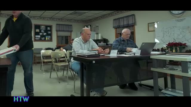
Summary
At a Huntington Township meeting, officials debated whether subdivision plans should rely only on licensed field surveys rather than tax-mapping/GIS data after cases of noncontiguous deeds and parcel splits; staff were asked to refine ordinance definitions and return with examples.
Huntington Township officials debated whether subdivision plans should be required to use licensed field surveys rather than tax-mapping or GIS data, saying outdated deeds and tax-parcel mapping have produced noncontiguous parcels and zoning complications.
Speaker 2 (Unidentified) opened discussion by describing a recent case in which an old deed had successive conveyances that left parcels noncontiguous and created separate tax parcels. That, Speaker 2 said, had caused one portion to become ineligible for the county’s clean-and-green preservation program. "If they plot it from the GIS data ... it's going to not be accurate," Speaker 2 said.
Speaker 3, who identified himself in the meeting as a retired professional land surveyor and engineer, pressed the distinction between GIS-derived maps and field surveys. "A GIS is not a survey. It's a representation," he said, arguing that only a licensed surveyor performing a field survey can certify boundary closure and locate corners. He added such surveys place professional liability on the surveyor that GIS does not.
Officials discussed how tax-mapping systems can assign separate parcel numbers based on tax-mapping geometry even when a deed indicates continuity. That can change how zoning and development rules are applied, participants said, and may allow subdivision or development where deed-based continuity would not. Several speakers said requiring a hard survey and updating recorded deeds would clean up long-standing discrepancies but would increase upfront costs for applicants; Speaker 2 warned that a field survey "can drop five figures" for some parcels.
The group also discussed ordinance wording. Speaker 2 proposed explicitly stating in the township ordinance that tax-GIS data is not an acceptable legal source for subdivision plans if county counsel has advised against it. "The source cannot be. Period," Speaker 2 said. Others suggested defining minimum closure standards and requiring evaluation of all evidence — deeds, surveys and recorded plans — rather than relying solely on GIS-derived tax maps.
Officials noted trade-offs: stricter survey requirements could reduce future boundary disputes and zoning errors but would raise permit preparation costs and, in some cases, require neighboring properties to be resurveyed to obtain closure. Several speakers cited prior examples — farm preservation resurvey work and old deeds referring to natural monuments or even early English-era covenants — to illustrate how historical descriptions sometimes force additional fieldwork.
Board members agreed to continue refining the definitions and requested example ordinance language used in other municipalities. Speaker 2 offered to share model language and samples for topics the group plans to review next year, including short-term rental/Airbnb rules, wedding barns/venue standards, demolition permits and home elevators.
During public comment, a resident (Speaker 7) asked why inspection reports tied to a township grant for a project called Green Mariah Culver (inspection years requested: 2022, 2023 and 2024) were not on file. Engineering staff responded that not all site checks generate formal written reports and that the need for a written inspection depends on the inspection’s scope; one engineer said he often performs field checks that do not result in a formal report. The board did not announce a final policy change on inspection-reporting standards during the meeting.
The board scheduled a broadband update for the next meeting and set the next meeting date. The meeting concluded with a voice vote to adjourn; the chair called for "All in favor, say aye," and the meeting was adjourned.
Next steps: staff and the township’s counsel will further refine proposed ordinance language about allowable plan sources and present model language and examples at a future meeting (next meeting date stated as January 27 in the session).