Get Full Government Meeting Transcripts, Videos, & Alerts Forever!
Lawmakers Hear Competing Congressional Maps; Public Warns Against Splitting Pulaski County
Summary
State lawmakers reviewed multiple congressional maps that differ chiefly on Pulaski County’s treatment. Presenters said maps balance population while minimizing county splits; public commenters urged keeping communities of interest intact and warned of potential legal challenges.
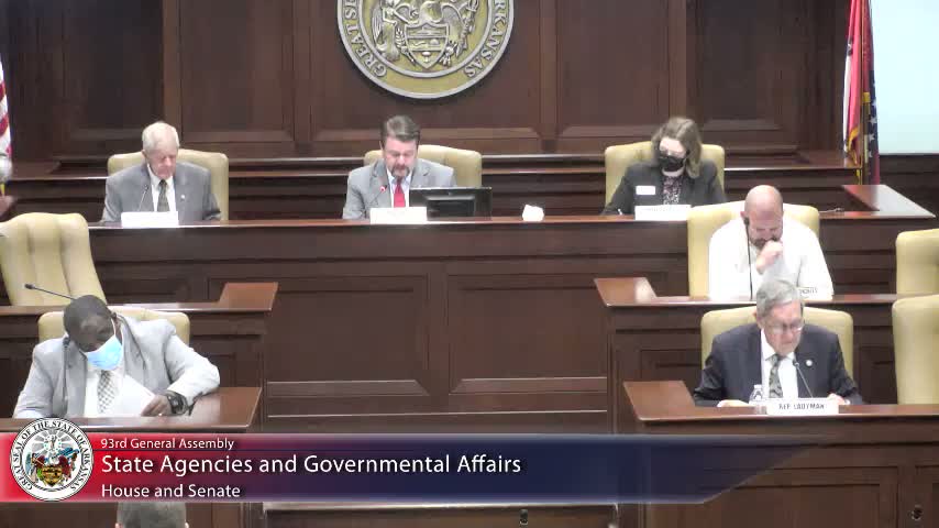
Members of the State Agencies & Govt'l Affairs Senate committee reviewed several competing congressional maps during a Monday hearing that highlighted sharp differences over whether to split Pulaski County among multiple districts.
Senator Bart Hester, presenting Senate Bill 7 21, told the committee his map was produced by BLR/VLR with a single instruction: “draw us a map that brings four districts as concise as possible with splitting as few counties as possible,” he said. Hester noted the plan would split only Pulaski County and reported population deviations he said were small across the four districts.
Supporters said Hester’s proposal is more geographically compact and fair than the 2011 map. “It’s a very fair map,” Hester told members, arguing the plan reduced…
Already have an account? Log in
Subscribe to keep reading
Unlock the rest of this article — and every article on Citizen Portal.
- Unlimited articles
- AI-powered breakdowns of topics, speakers, decisions, and budgets
- Instant alerts when your location has a new meeting
- Follow topics and more locations
- 1,000 AI Insights / month, plus AI Chat