Get Full Government Meeting Transcripts, Videos, & Alerts Forever!
Get email alerts on the Redistricting topic
No spam. Unsubscribe anytime.
Lawmakers Hear Competing Congressional Maps; Public Warns Against Splitting Pulaski County
Summary
State lawmakers reviewed multiple congressional maps that differ chiefly on Pulaski County’s treatment. Presenters said maps balance population while minimizing county splits; public commenters urged keeping communities of interest intact and warned of potential legal challenges.
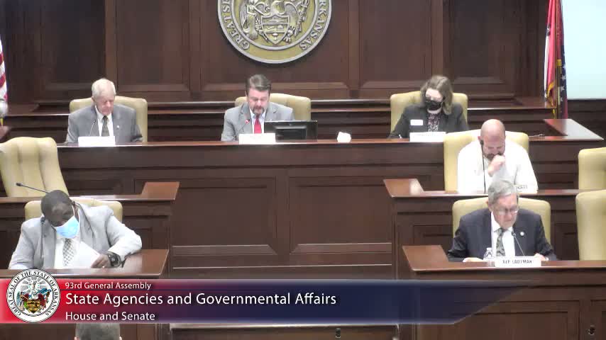
Members of the State Agencies & Govt'l Affairs Senate committee reviewed several competing congressional maps during a Monday hearing that highlighted sharp differences over whether to split Pulaski County among multiple districts.
Senator Bart Hester, presenting Senate Bill 7 21, told the committee his map was produced by BLR/VLR with a single instruction: “draw us a map that brings four districts as concise as possible with splitting as few counties as possible,” he said. Hester noted the plan would split only Pulaski County and reported population deviations he said were small across the four districts.
Supporters said Hester’s proposal is more geographically compact and fair than the 2011 map. “It’s a very fair map,” Hester told members, arguing the plan reduced the county splits that he characterized as gamesmanship in the prior cycle.
Several senators and members of the public pushed back on splitting Pulaski, saying multiple representatives for a single county could confuse constituents and dilute urban communities. Rochelle Britton, a Jacksonville resident and licensed attorney, said she was “shocked at seeing all these maps that want to divide Pulaski County as many as three ways” and warned that Arkansas Supreme Court precedents (Wells v. Revere; Ricarte v. State) raise the risk of the map being struck down and forcing another special session.
Public commenters with agricultural constituencies urged keeping farming communities intact. Richard Tindall, identified as the Desha County judge, said his county is “90% agriculture” and argued that representatives who understand local farming matters are important for his area’s recovery from floods and other local issues. Charles Capps, a former Lincoln County judge, said he values his county’s relationship with Rep. Crawford and worries about losing that local connection if lines are redrawn.
Representative Murdoch presented House Bill 1962 with an alternative map that, he said, splits zero counties and therefore avoids many of the access and community-of-interest concerns raised by others. James Valley of Helena urged the committee to consider minority representation and said Murdoch’s map provided a competitive Second District and small population deviations.
Senator Ryford presented two additional maps filed by Senator Clark; those proposals sought to keep district lines closer to prior boundaries in some respects, while another version split only one county. Committee members asked technical and policy questions about how maps affect access, community interests and likely legal survivability.
No formal votes or motions were recorded during the hearing. The committee took public testimony on multiple maps and adjourned without action; members were told the committee will reconvene Monday at 1 p.m.
The hearing transcript shows members repeatedly weighing tradeoffs between minimizing county splits, preserving communities of interest such as agricultural or river communities, and the legal and political risks of proposed boundaries. The process is scheduled to continue at the committee’s next meeting.