Get Full Government Meeting Transcripts, Videos, & Alerts Forever!
Get email alerts on the Transportation topic
No spam. Unsubscribe anytime.
Council denies petition to reclassify Clark Canyon and refuses to re‑map vacated Deer Hollow road
Summary
After a legal briefing and public testimony, the council denied a petition to reclassify Clark Canyon Road from Class D to county‑maintained Class B and found that Deer Hollow Road had been vacated by 2002 ordinance; petitionersarguments rested on historical maps and recordkeeping concerns but lacked the continuous public‑use evidence required by statute.
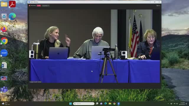
The Summit County Council, sitting as the County Highway Authority on Aug. 23, heard a petition seeking reclassification of Clark Canyon Road and re‑mapping of Deer Hollow Road. Petitioners asked the county to recognize a historic Class B designation and to place Deer Hollow back on the county road map.
County attorneys reviewed the record and explained the statutory process: changing a road's classification is permissible, but restoring a vacated road to the county map requires evidence of 10 years of continuous public use or a dedication/easement. The county commissions 2002 ordinance vacated two of the three roads in question (including Deer Hollow), and that ordinance was published and recorded; the statutory period to challenge that action has passed.
Petitioners argued historical county maps from the 1950s–1960s support a Class B status; conservation staff and monitoring records described the same tracks as private agricultural roads with gates and no sign of continuous public use. After the legal review and public input, the council voted to deny the petition to reclassify Clark Canyon Road to Class B and denied requests to place Deer Hollow Road back on county maps. The council also found the county record (ordinance 4‑39, Dec. 19, 2002) shows the vacating step and ordered clerk records corrected where map listings were inconsistent with recorded action.
The action resolves a multi‑decade dispute about road status but does not preclude future petitions that produce the statutorily required evidence of continuous public use or dedications.